
Yakushima Island
Magnificent nature designated as a UNESCO World Natural Heritage Site
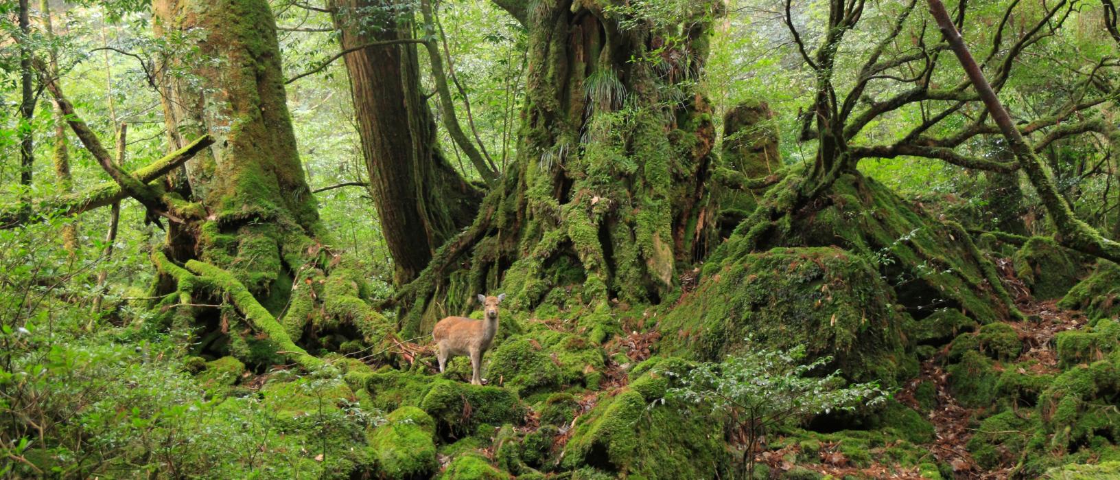
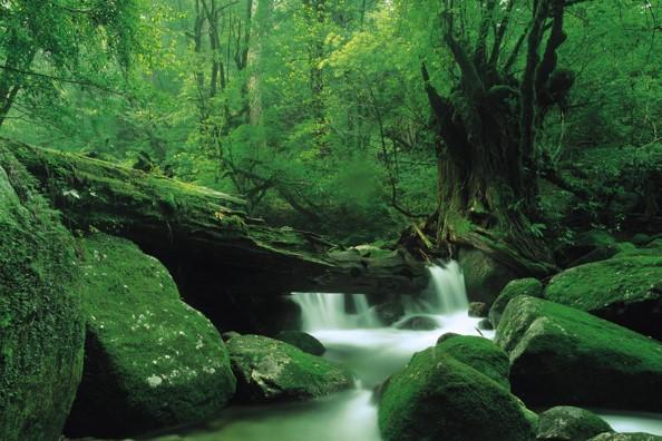
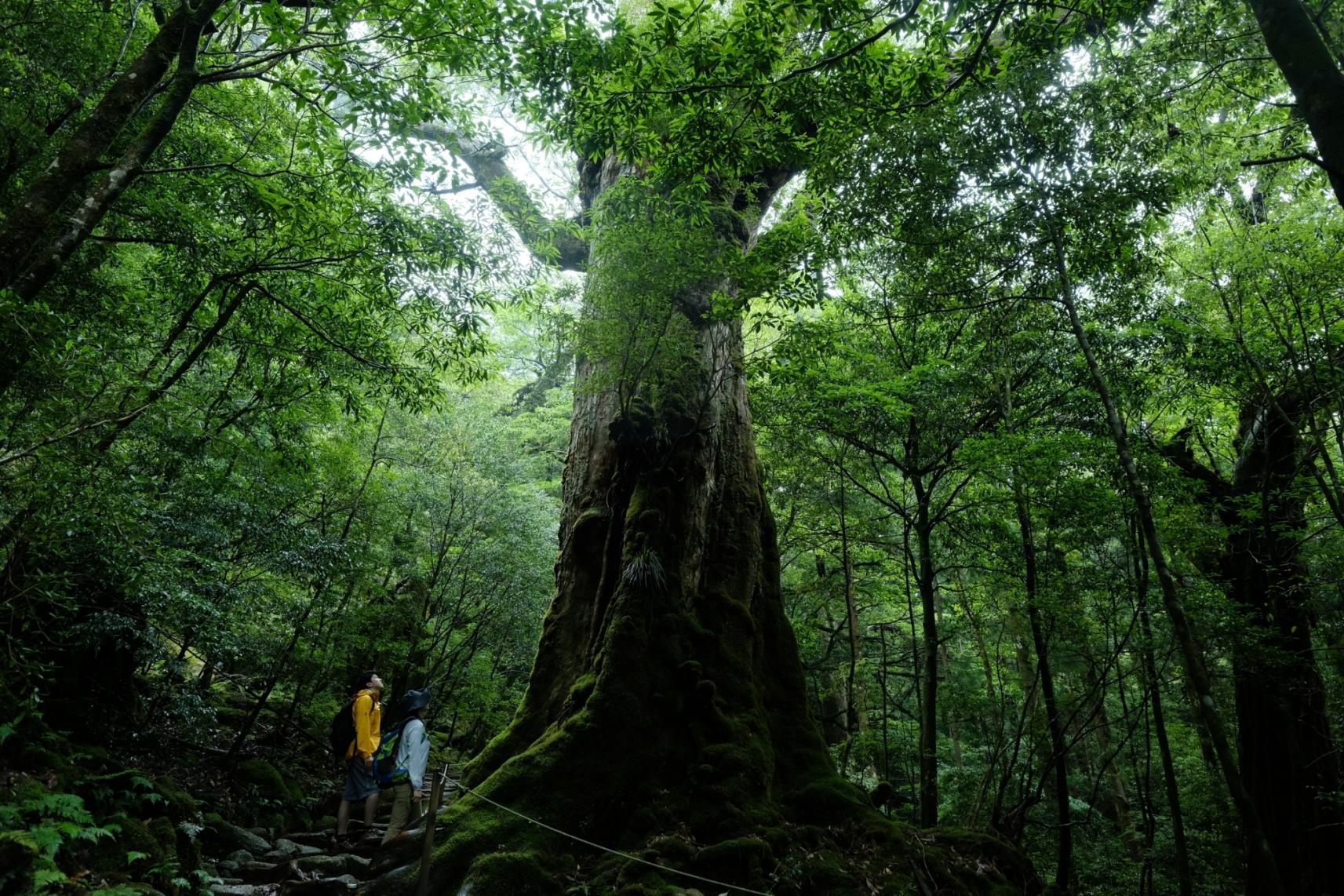
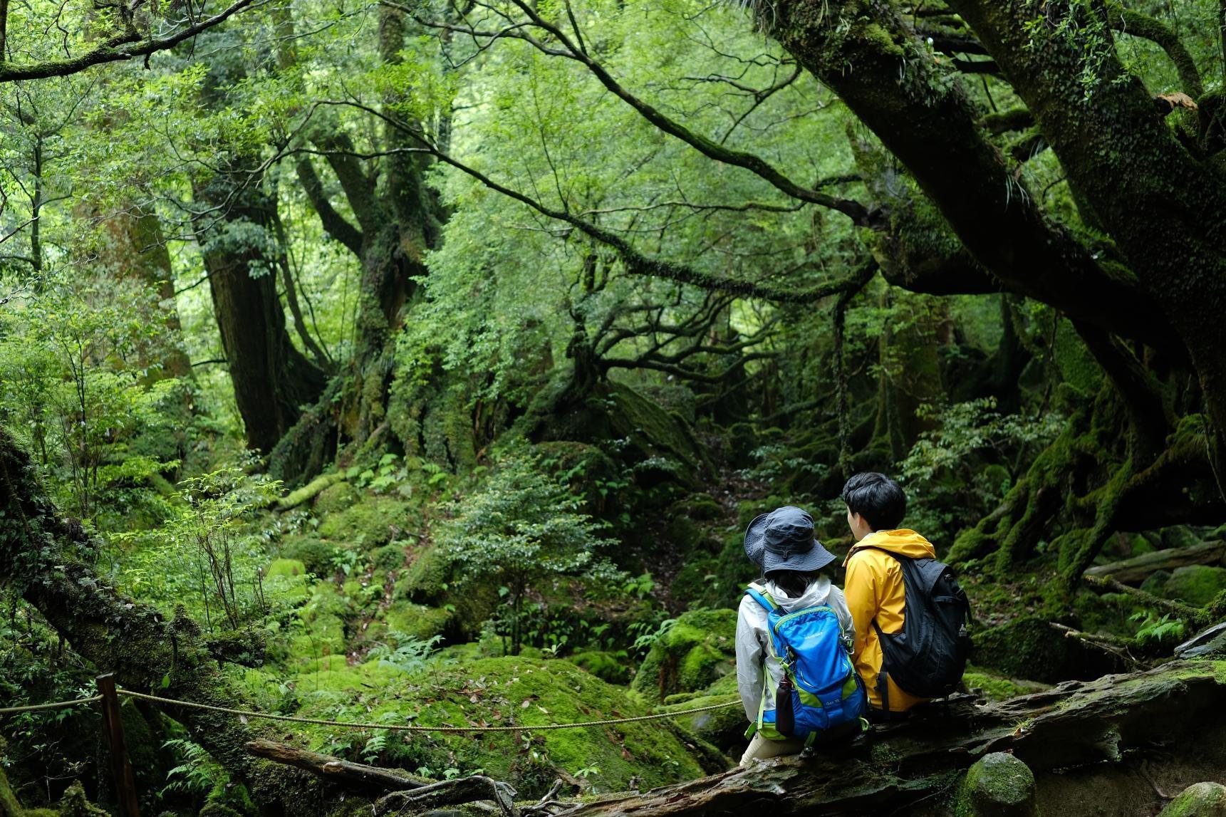
A World Natural Heritage Site, Yakushima is teeming with life, from the ancient Yakusugi cedars and lush vegetation to the monkeys and deer that roam freely on the island.
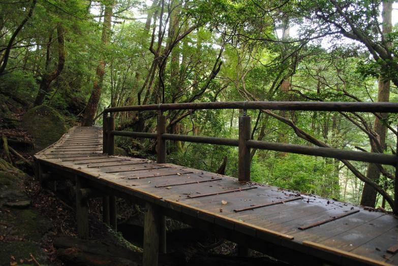
Exploring on foot
Yakushima is ideal for walkers of all levels. Stroll the deep forest and vast mosses of Shiratani Unsuikyo Ravine, the inspiration for the Studio Ghibli film Princess Mononoke, or hike to Japan’s oldest cedar tree, which is around 7,200 years old.
Try experiences
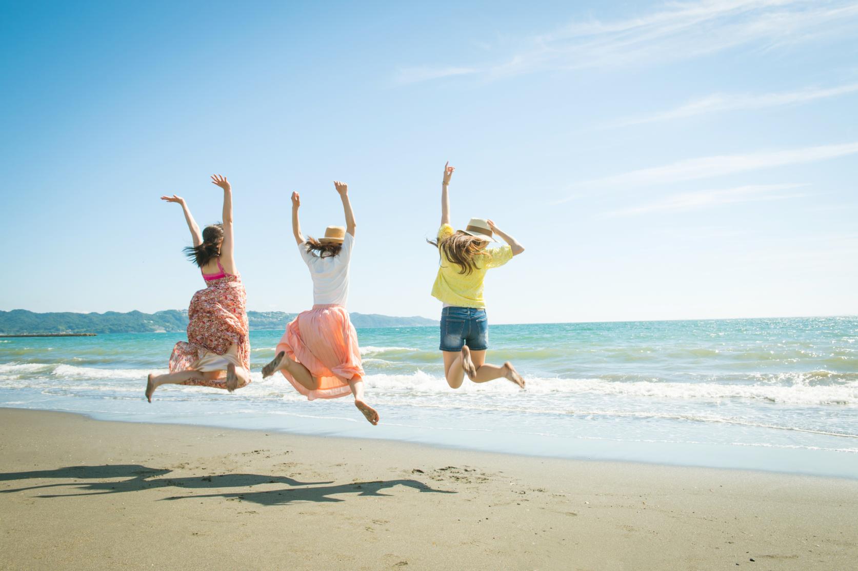
With 20% of the island covered in forest, Yakushima offers ample opportunities to try the relaxing wellness practice shinrinyoku (forest bathing). You can also see some of the island’s most beautiful scenery while kayaking on the Anbo River and even find sea turtles laying their eggs (June to mid-July) or witness them hatch (late July to early September). Guides are on-site to explain and ensure the animals are not disturbed.
An island of world natural heritage status
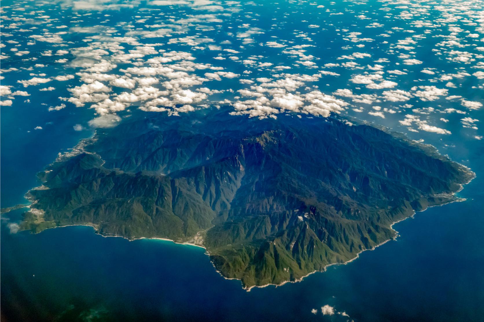
Yakushima Island is listed as a UNESCO World Natural Heritage Site for its unique ecosystem. About 20% of the island is designated as such, from the central part of the island where Jomonsugi Cedar is to the western part of the island through which the Seibu Rindo (West Forest Trail) road passes.
Yakushima Travel Guide Map (Feb. 2026)
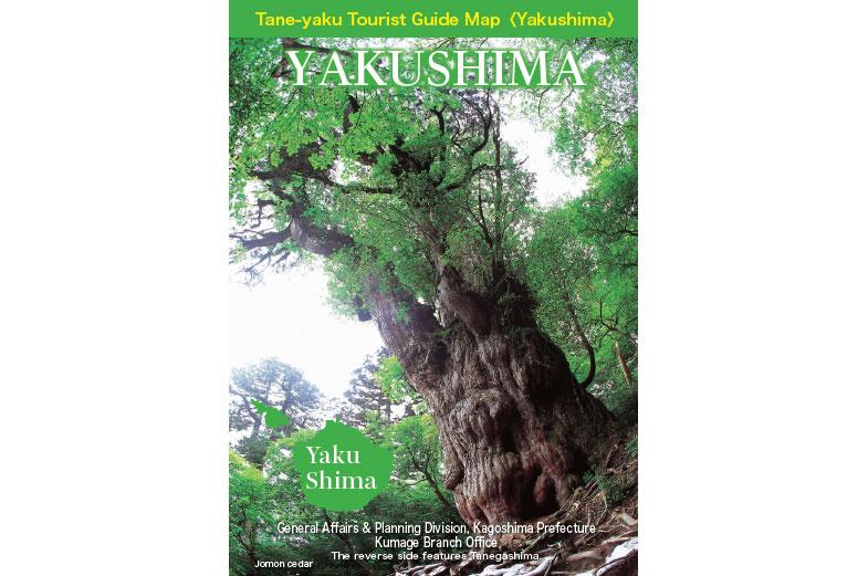
This PDF brochure is packed with information about Yakushima, including maps, access information, transportation on the island, sightseeing buses, tourist attractions, and local specialties.
See moreData
| Land area | |
|---|---|
| 504.94㎢ | |
| Also known as the "Alps of the Sea", 90% of Yakushima Island is covered with forest. | |
| Circumference | |
| 132km | |
| The ring road around the island is approx. 100 km, and you can complete your drive in about 3 hours without stopping. | |
| Population | |
| approx.13,600 people | |
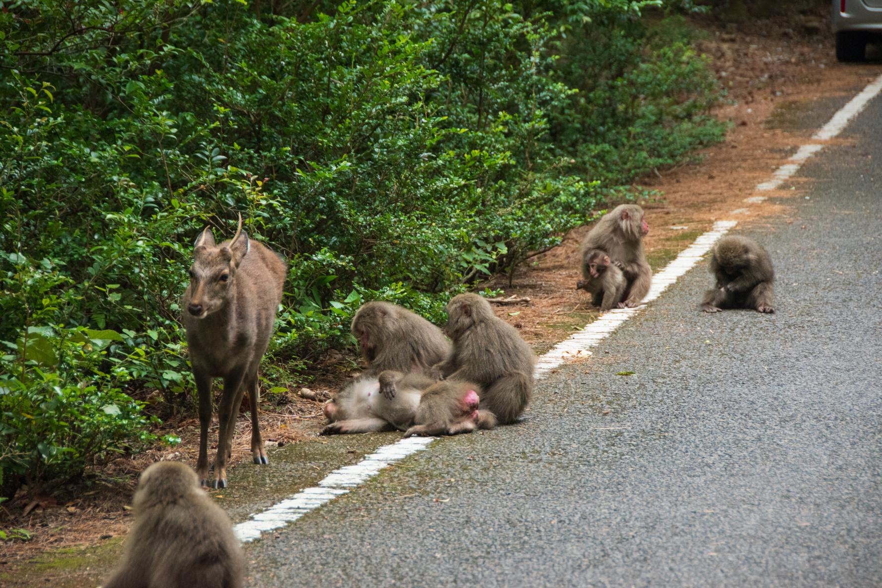
| There is a saying that there are "20,000 monkeys, 20,000 deer, 20,000 people" on the island, alluding to the high numbers of Yaku deer and Yaku monkeys. | |
| Topography | |
| approx. 2,000m above sea level | |
| Yakushima Island's distinctive feature is the vertical distribution of a great variety of plants, so enabled by the wide range of climate zones. | |
Climate
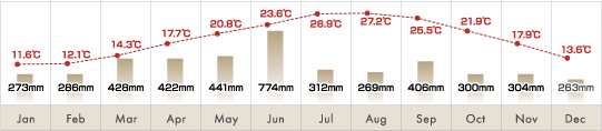
Yakushima Island experiences much rain, almost 3 times that of Tokyo's annual rainfall. It is often described as "rainy 35 days a month". As the weather is often unpredictable, rain gear like umbrellas are must-have items.
Average temperatures and rainfall
Average values from 1981 to 2010 (statistics from Japan Meteorological Agency)
Main attractions
-
Shiratani Unsuikyo Ravine
The forest is covered in green, unique ground plants like ferns and mosses, and visiting allows for travelers to experience and savor the superb world where Yakusugi cedar trees and laurel forests grow together.
-
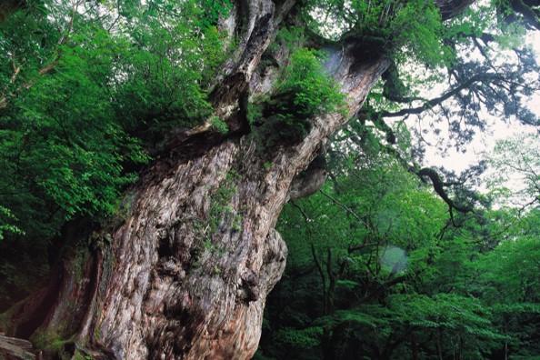
Jomonsugi Cedar
The Jomonsugi Cedar tree is the oldest Yakusugi Cedar tree and is said to be around 7,200 years old.
-
Okonotaki Falls
With a 88m-drop, from throughout Kyushu Okonotaki Falls has been ranked in the Top 100 Best Waterfalls in Japan.
-
Yakusugi Cedar Land
The mountain-walking course is a relatively flat trail reaching an elevation of 1,000m and is recommended to beginner hikers.
-
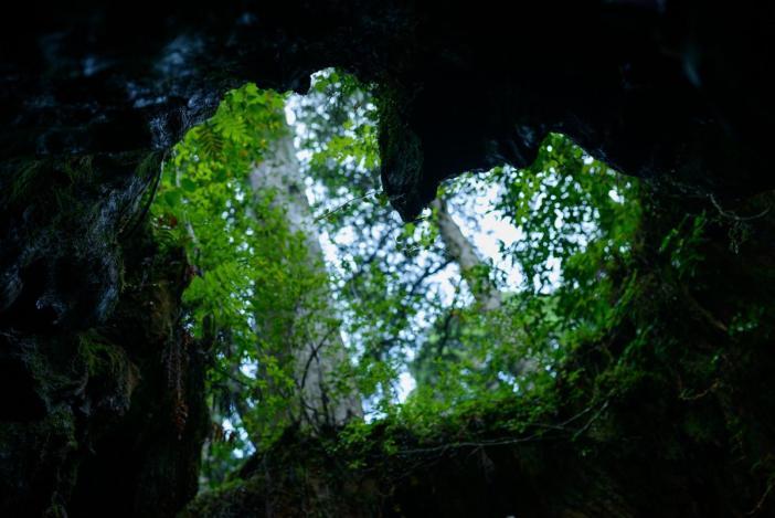
Wilson's Stump
The stump is 32 meters in circumference and 4.4 meters across at chest level. If you look toward the sky at a certain angle, the stump appears to be heart shaped.
-
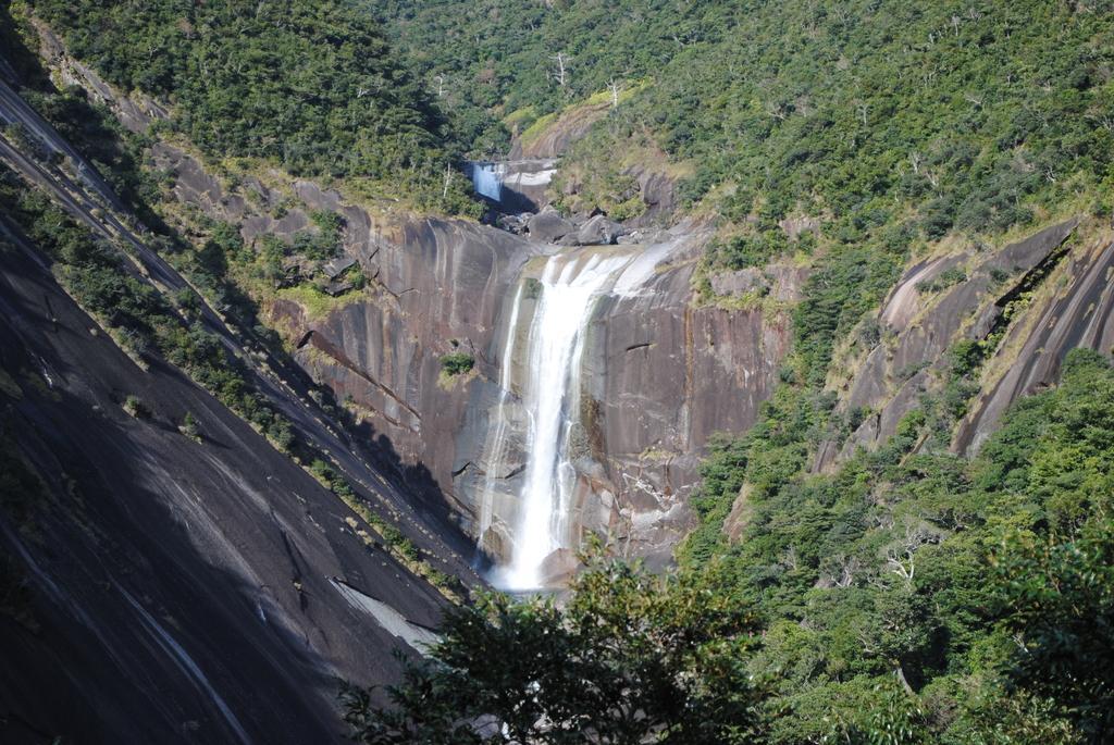
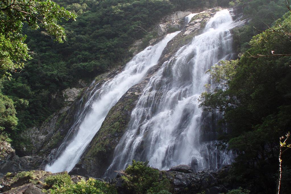
Senpironotaki Falls
Senpironotaki Waterfall has a 60m drop and is one of the most recognized of the many waterfalls on Yakushima Island.
-
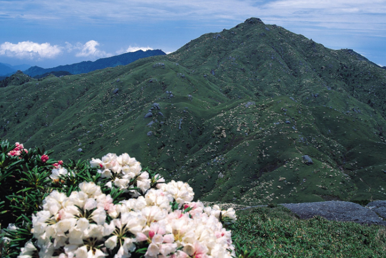
Mt. Miyanoura
-
Seibu Rindo Forest Path
Most of the mountainous forest road (15km) is located within the island’s World Natural Heritage area. Enjoy passing through the “green tunnels” and looking for the wild Yaku monkeys that lounge around along the road.
-
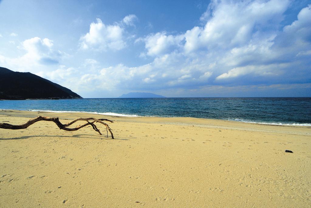
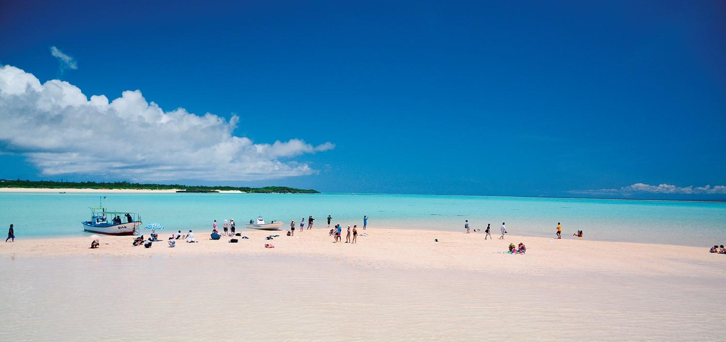
Nagata Inakahama Beach
Inaka Beach at Nagata Beach is a beautiful sandy beach approx. 1km past the yellow sandy beaches near the weathered granite Okudake Mountains of Yakushima.
Map of attractions
Google Maps may not display correctly if left open for more than 1 day
Self-Drive in Kyushu: A Scenic Road Trip From Fukuoka to Yakushima’s Ancient Forests
This itinerary takes you on an unforgettable journey from Fukuoka to Yakushima, weaving through Kumamoto’s rich heritage, Kagoshima’s volcanic vistas, and finally, Yakushima’s ancient cedar forests, a UNESCO World Heritage Site.
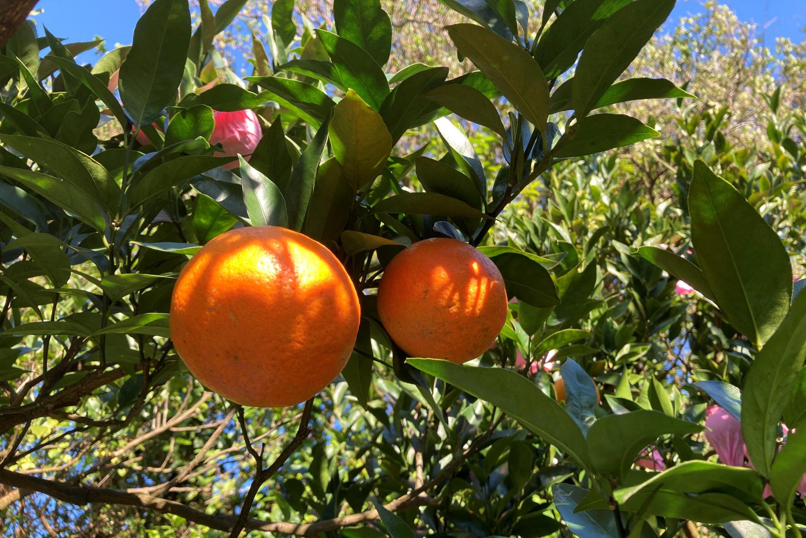
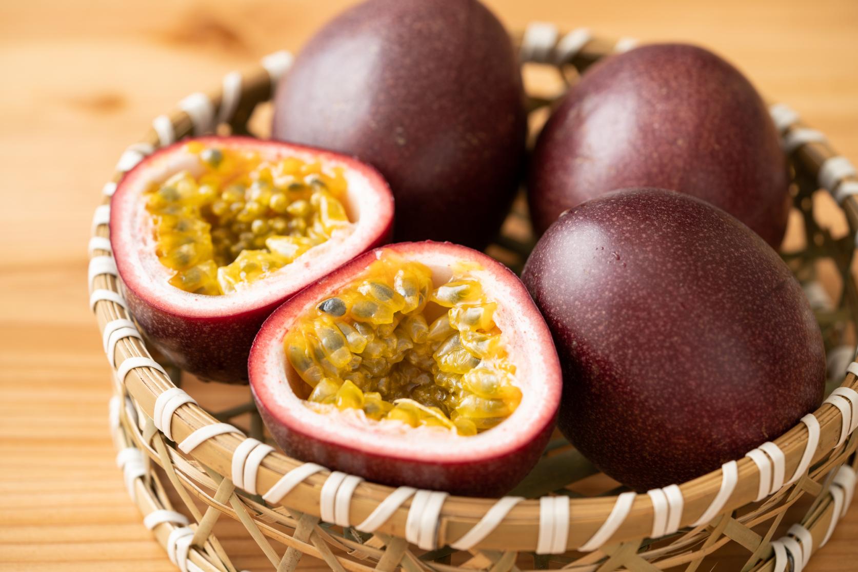
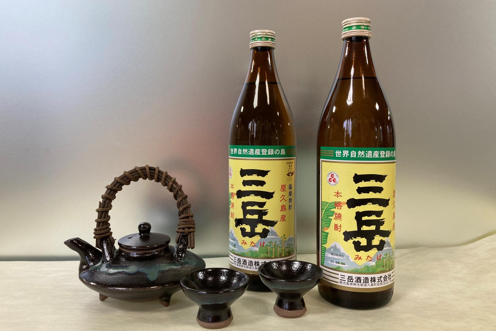
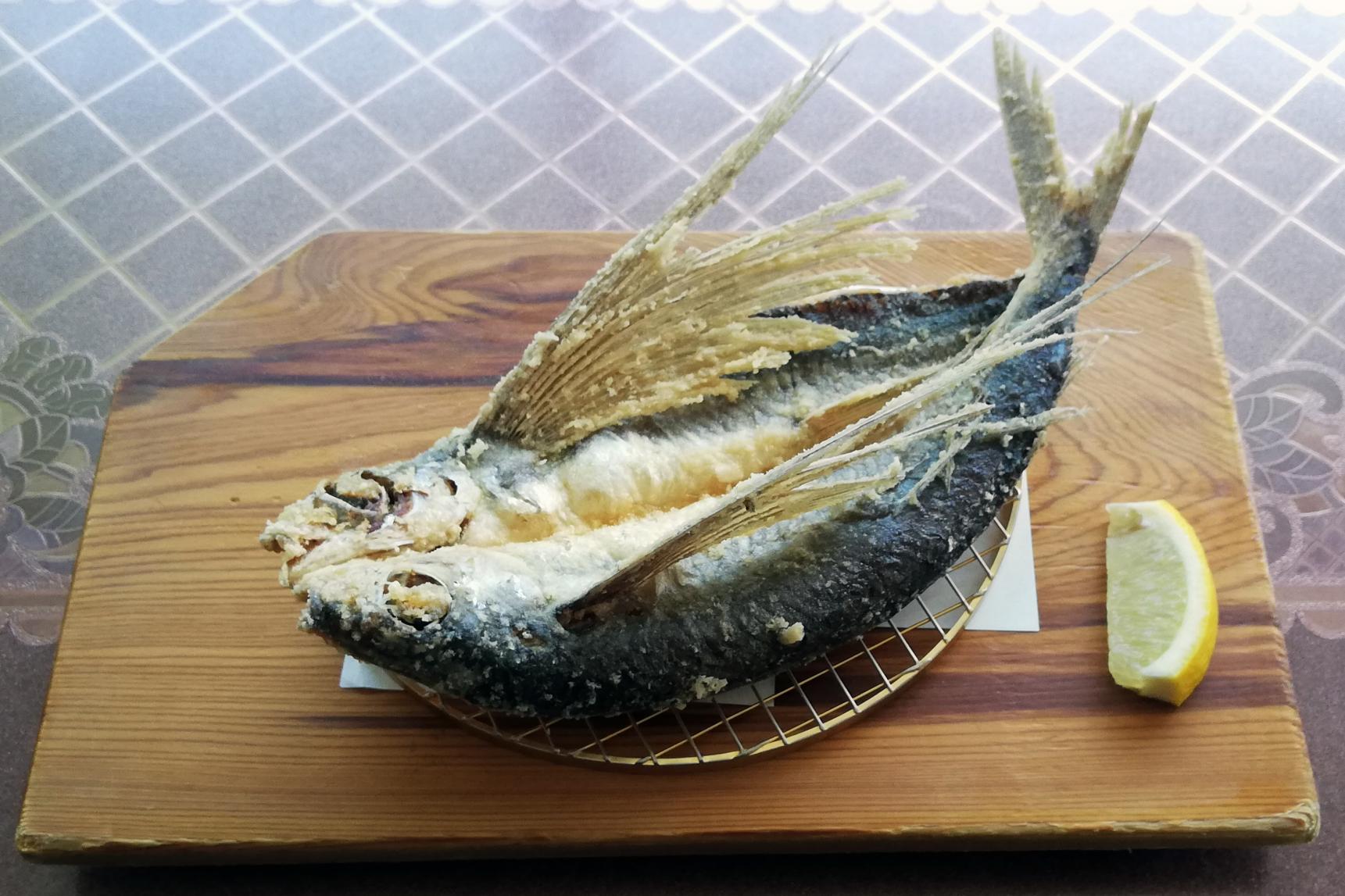
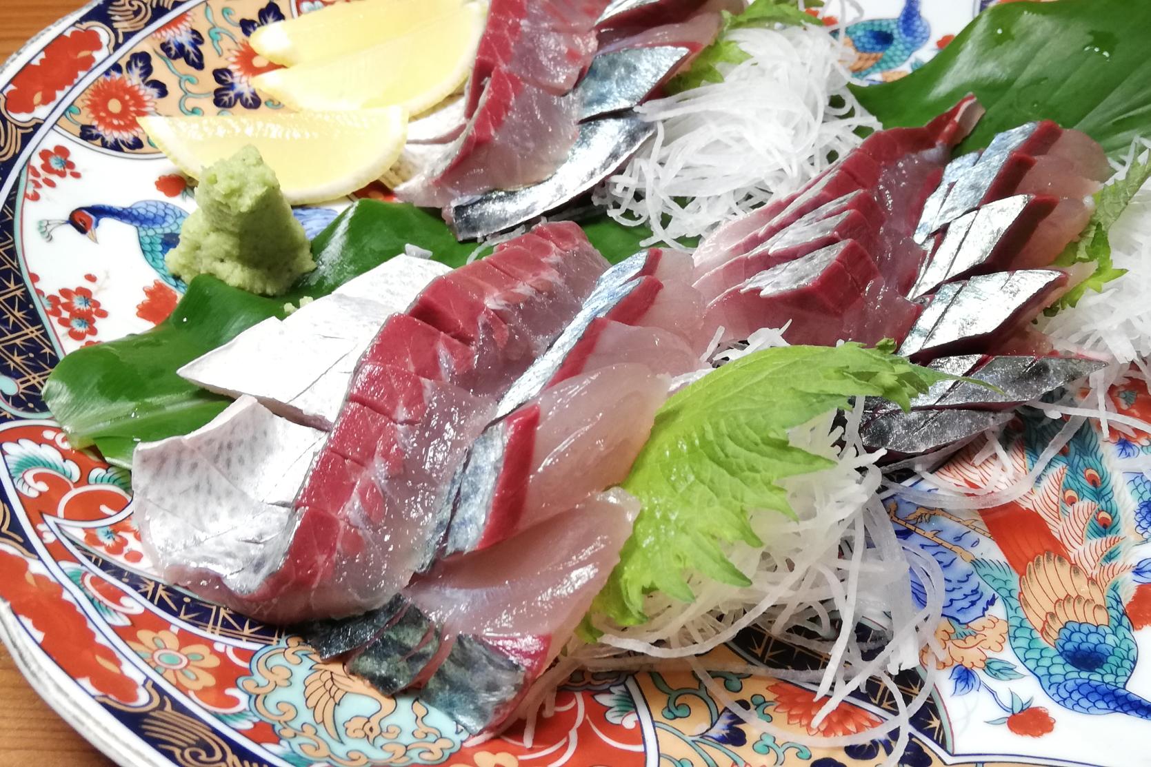
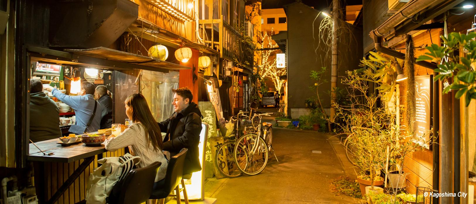
See moreFood in Yakushima Island
A treasure trove of delicacies
All information PDF about Yakushima
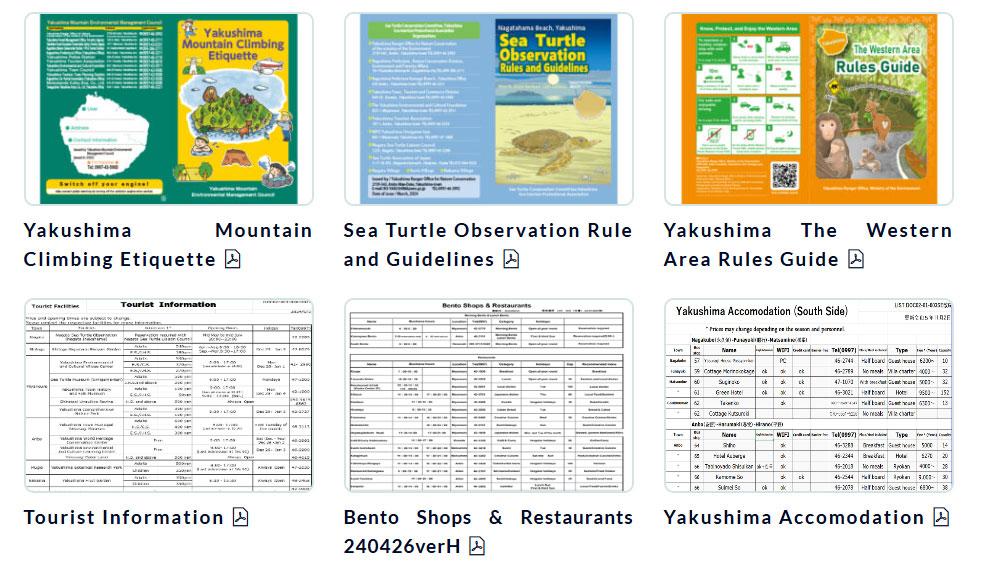
All information is listed, including maps of each town on Yakushima, bus timetables, route maps, accommodation, places to eat, and mountain climbing guides.
(English PDF is posted at the bottom of the page)
Brochures
Access
Access around Yakushima
There are two bus companies in Yakushima: Tanegashima Yakushima Kotsu and Matsubanda Kotsu. Both companies operate sightseeing tour buses as well as local route buses.
Share
Most popular
-
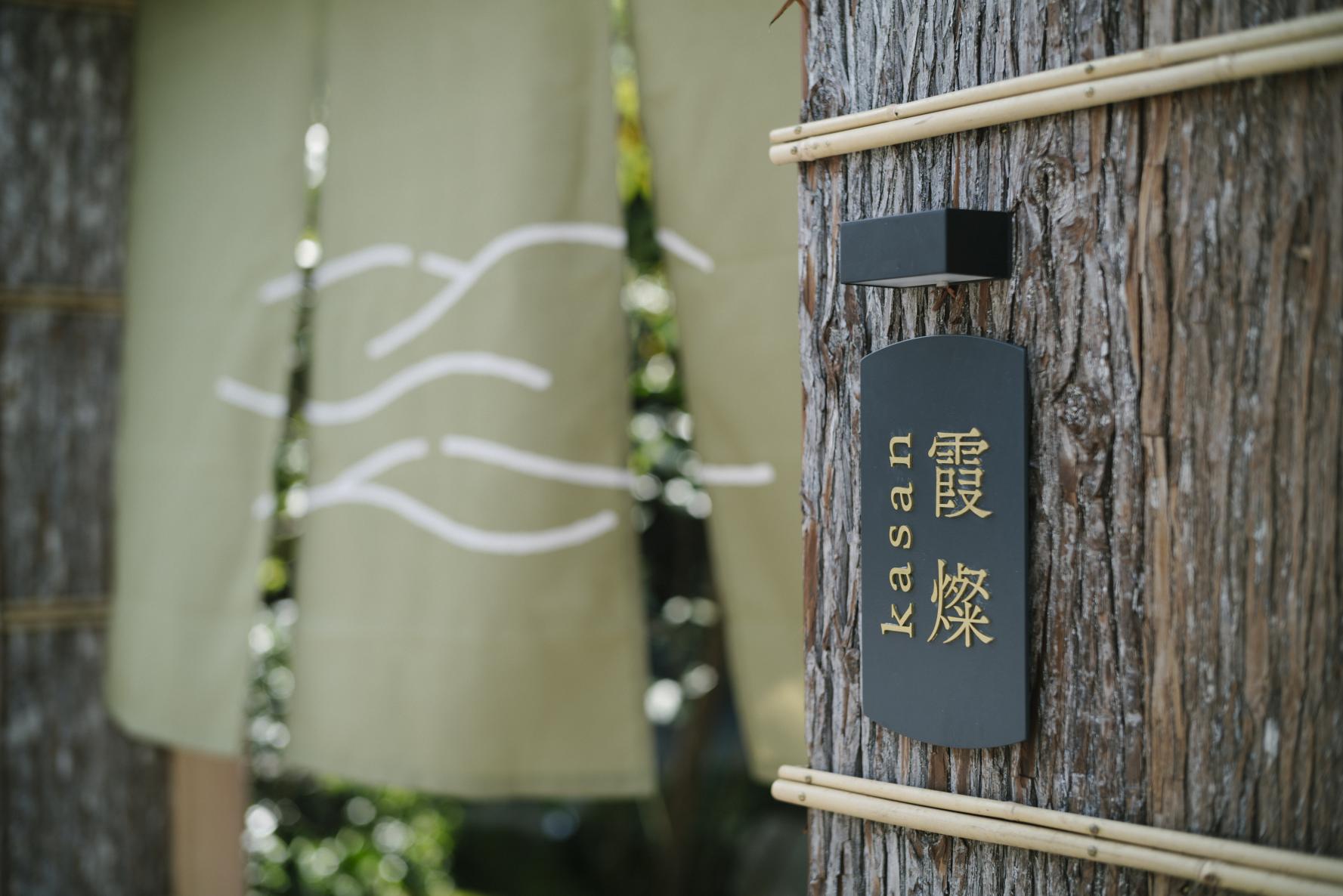
The Complete Guide to "Drifting Inn Kasan," a luxury hotel in Kirishima Enjoy Hot Springs, Gourmet Dining and Sightseeing as if you Were Living There.
-
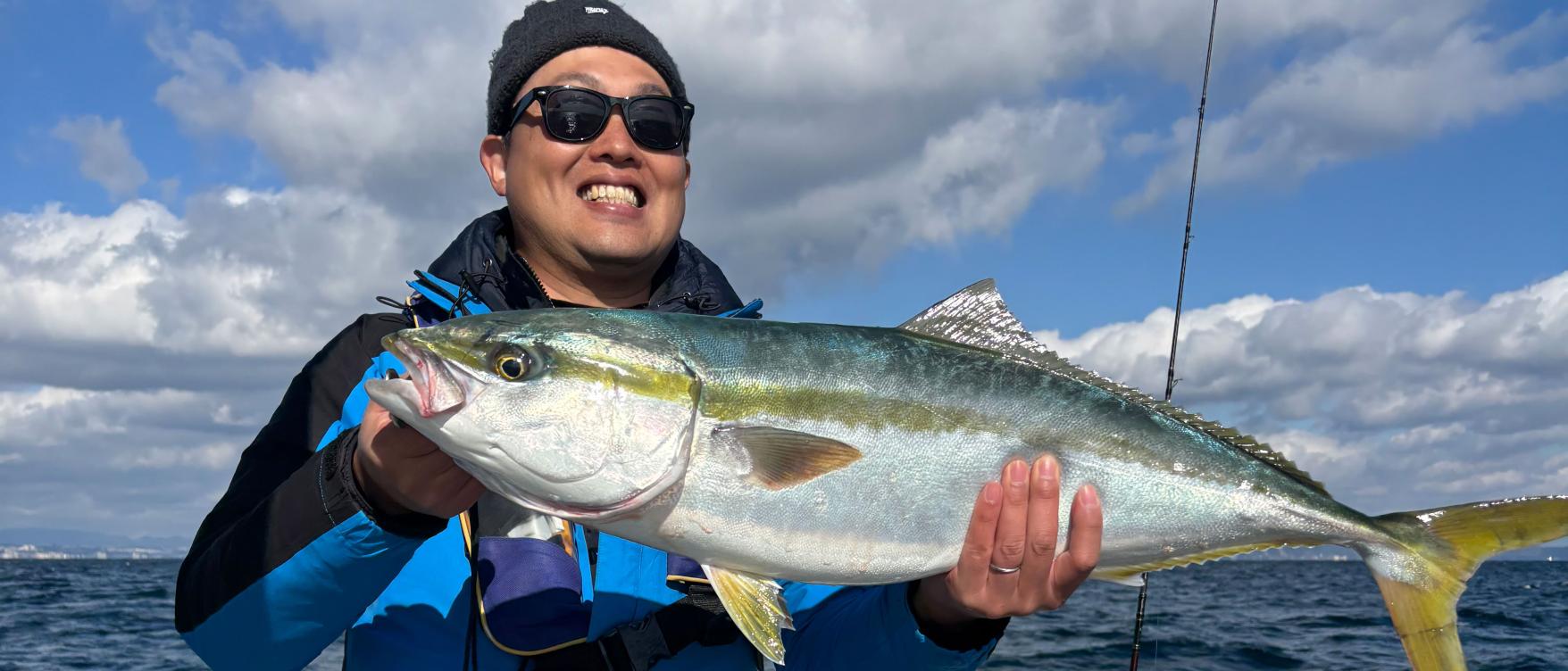
Enjoy a great fishing experience in Kagoshima's Kinko Bay!
-
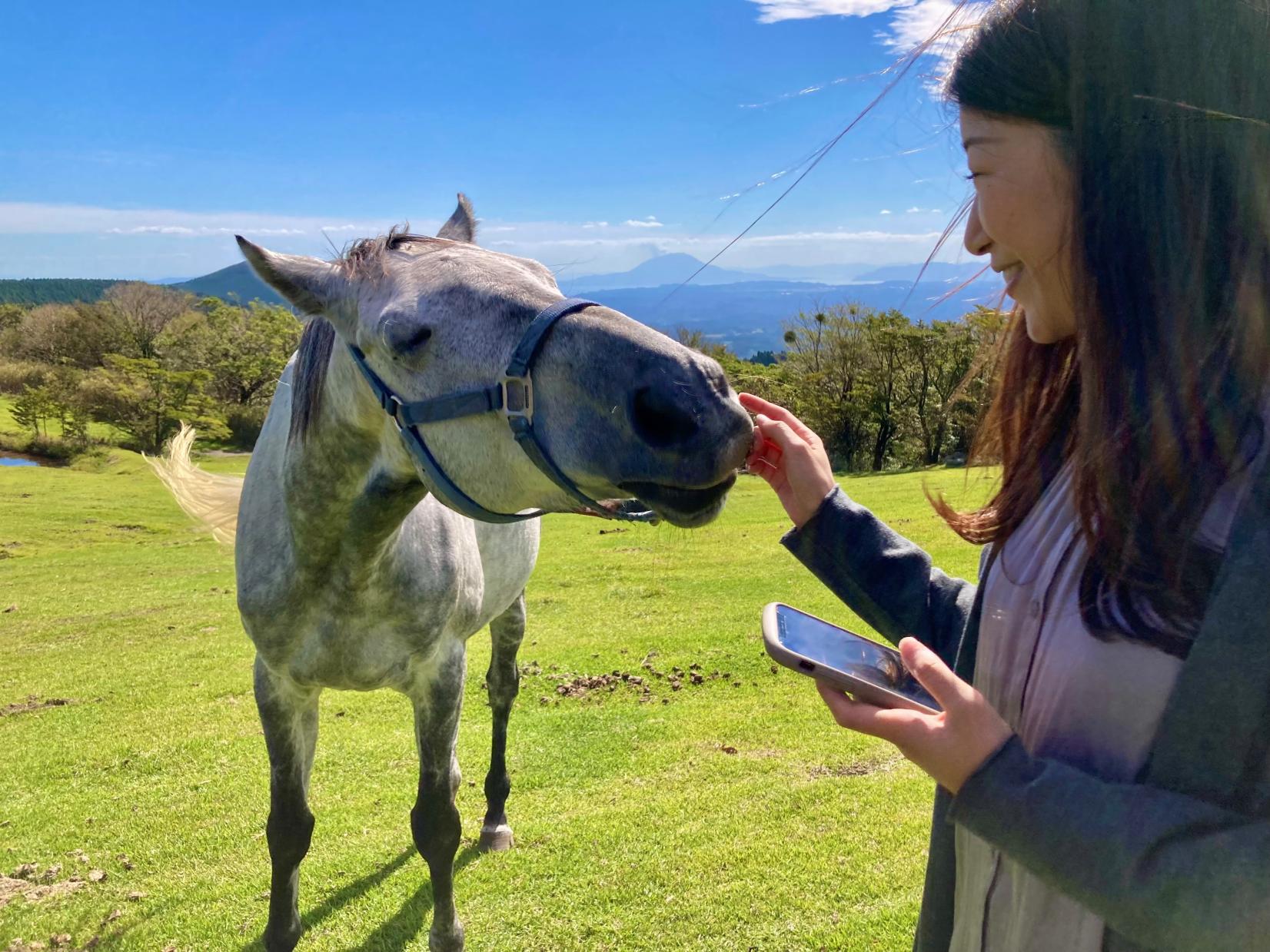
Re-Wild Kagoshima: The ultimate healing experience of interacting with the “Happy Horses”
-
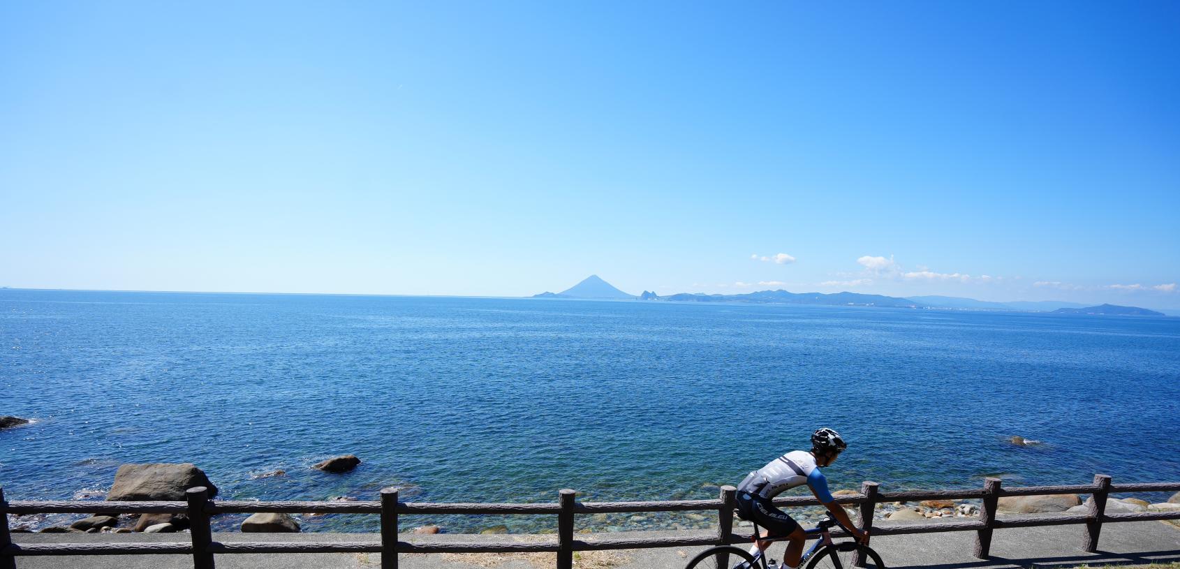
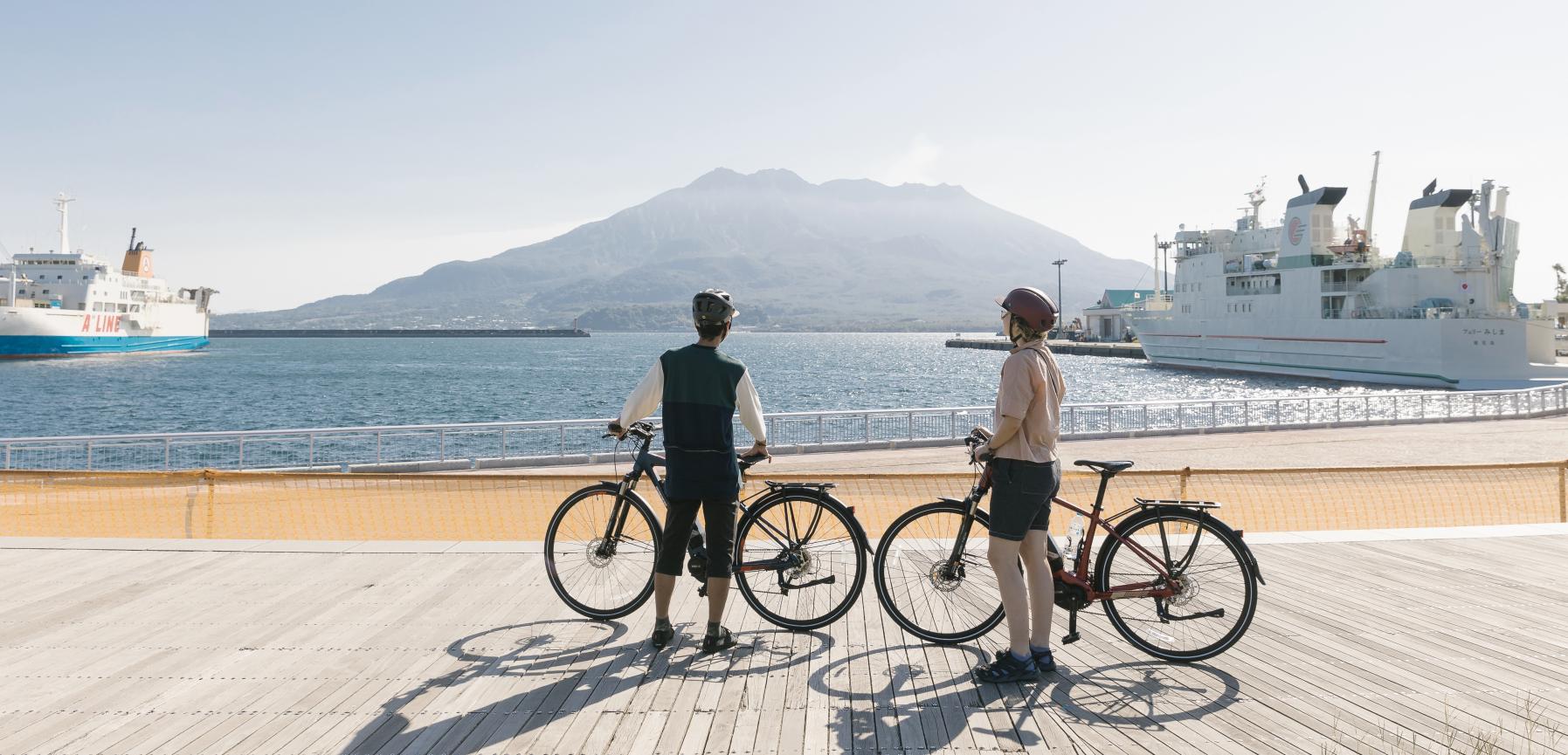
Now is the time for a bike trip! Cycle beautiful Kagoshima
-
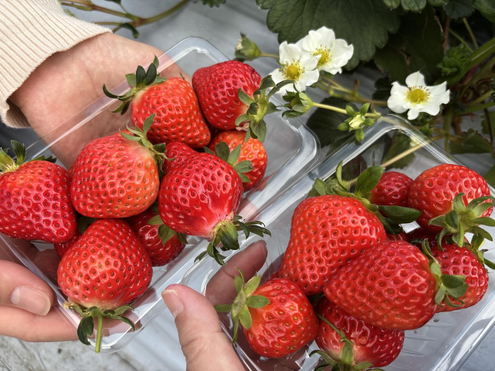
Kagoshima's Best Strawberry Picking Spots! Featuring All-You-Can-Eat and Strawberry Sweets
 Next article for you
-
The Complete Guide to "Drifting Inn Kasan," a luxury hotel in Kirishima Enjoy Hot Springs, Gourmet Dining and Sightseeing as if you Were Living There.
-
Enjoy a great fishing experience in Kagoshima's Kinko Bay!
-
Re-Wild Kagoshima: The ultimate healing experience of interacting with the “Happy Horses”
-
Now is the time for a bike trip! Cycle beautiful Kagoshima
-
Kagoshima's Best Strawberry Picking Spots! Featuring All-You-Can-Eat and Strawberry Sweets
-
Kikaijima Course, an island where mysterious giant banyan trees and butterflies dance
-
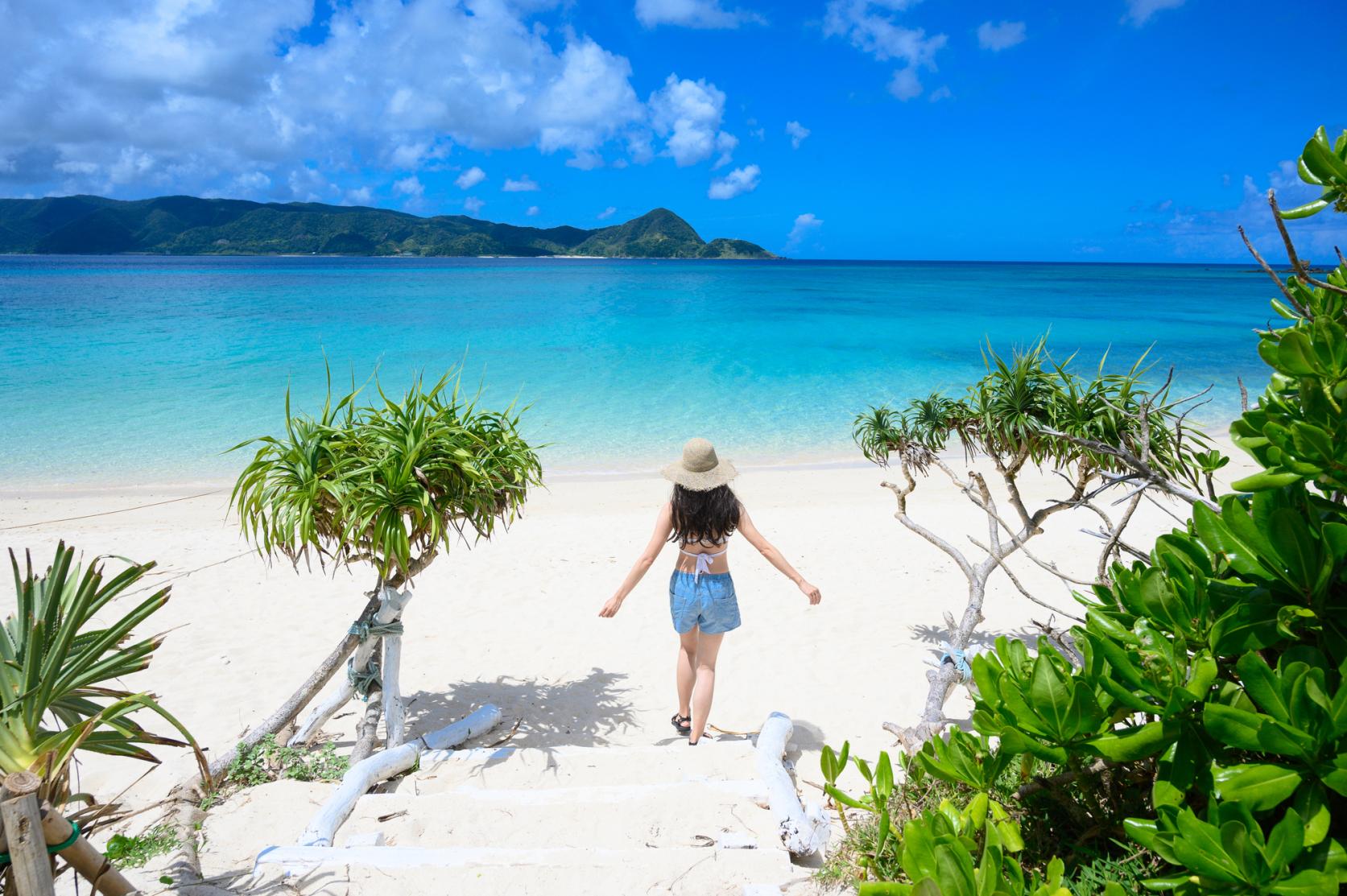
Yoron Island course that heals you on the white sandy beach
-
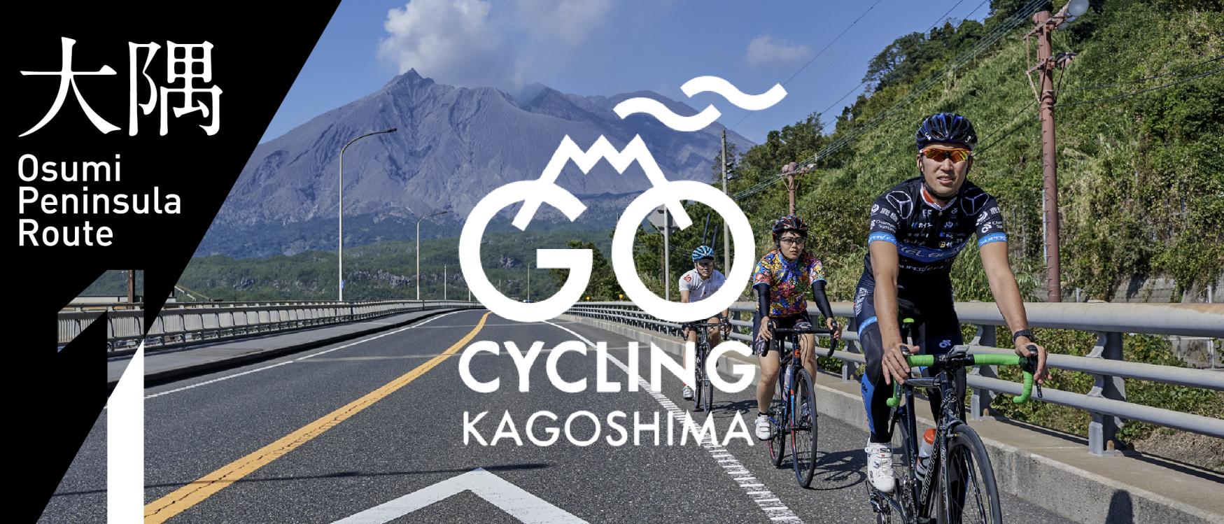
Enjoy Dynamic Nature and Rich Food! Osumi Route
-
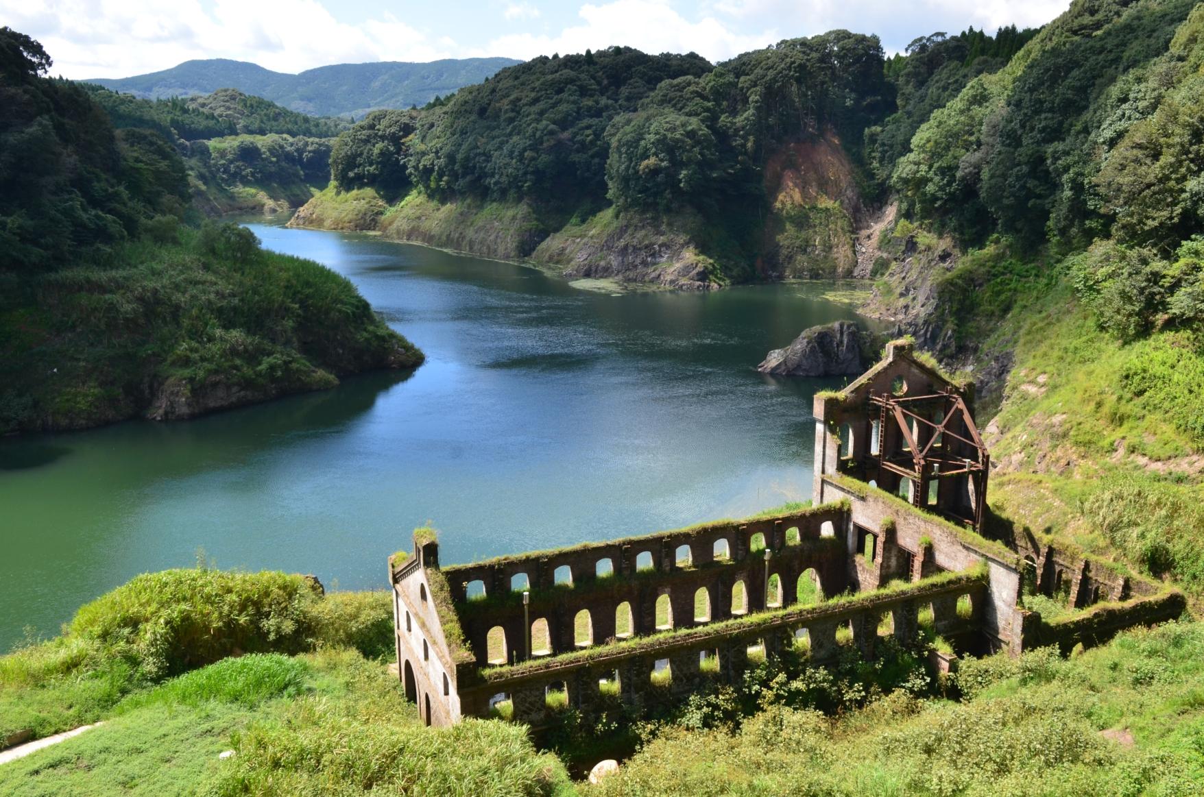
Enjoy the scenery along the river that flows abundantly from the Kirishima Mountains! Sendai River Basin Route
-
Inner Kinko Bay Route: Vocano and Caldera
-
Let's go island-hopping in Kagoshima!
-

Our latest poster promotes Kagoshima’s tagline “Treasure of the South, Kagoshima” and uses photos of famous attractions across our prefecture, arranged in the style of two-dimensional matrix barcode.
-

Voyaging from Osaka to Kagoshima on the Sunflower Ferry
-

Discover Kagoshima with the CUTE Pass
-
Helpful information
-
Summer Stay Discount Campaign -Treasure of the South, Kagoshima-
-
Self-Drive in Kyushu: A Scenic Road Trip From Fukuoka to Yakushima’s Ancient Forests
-
Visit Sakurajima: A Volcano in the Middle of Kagoshima City
-
Savouring Kagoshima’s Wagyu
-
Eating and Drinking Your Way Around Kagoshima