
A simple, refreshing island: the Tokunoshima Route
Featuring three mountains covered in deep forest home to wild flora and fauna, time on this island just flows by. Mysterious rock formations and sheer cliffs are among the spots where you will feel the island's strange power. The lively events calendar includes a bullfighting contest and triathlon.
Tokunoshima northern itinerary
Course data
| Departure/Arrrival point | Start: Hetono Port, Finish: Kametoku Port |
| Distance | Approximately 43.9 km |
| Elevation gain | Approximately 382 m |
This gently undulating route is the same as that used for the Tokunoshima triathlon. Sights include the dynamic Mushiroze rocks and beautiful sea views. In the evening, you may encounter a fighting bull taking a walk.
-
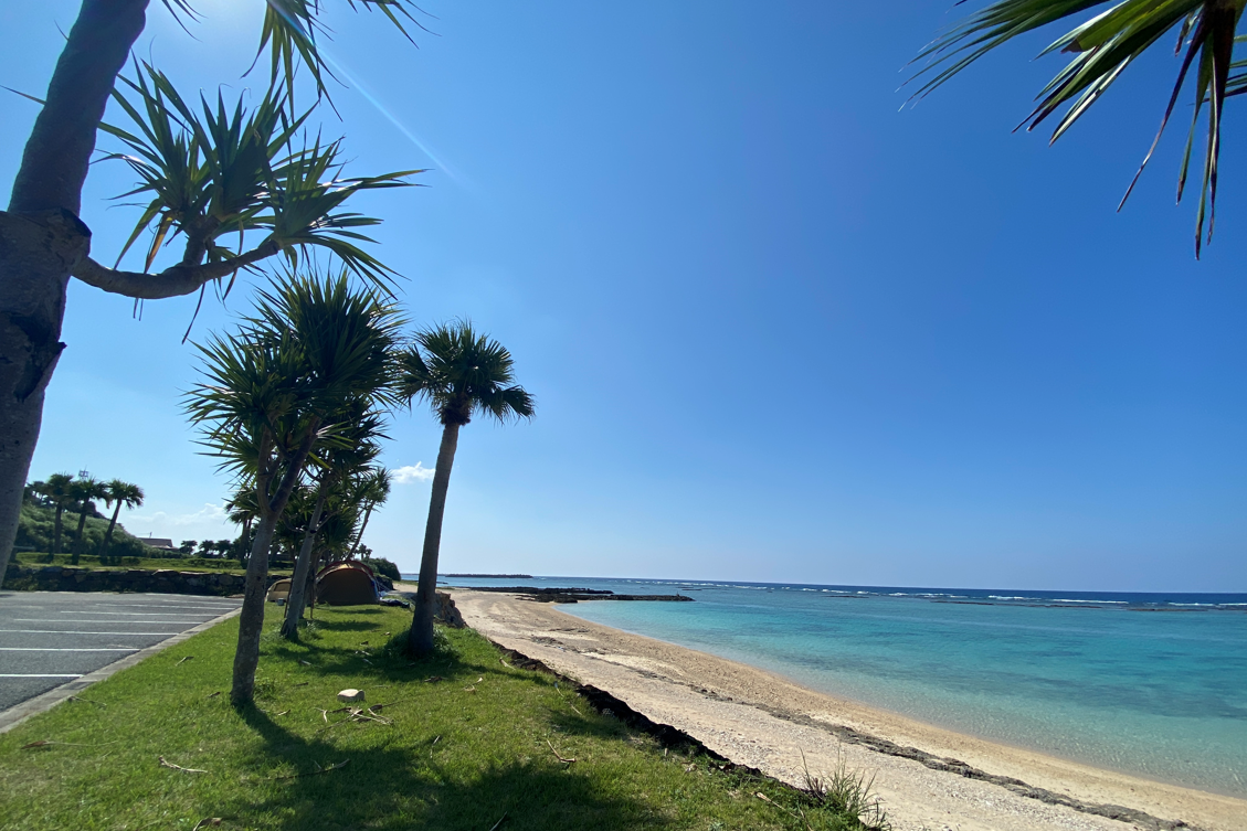
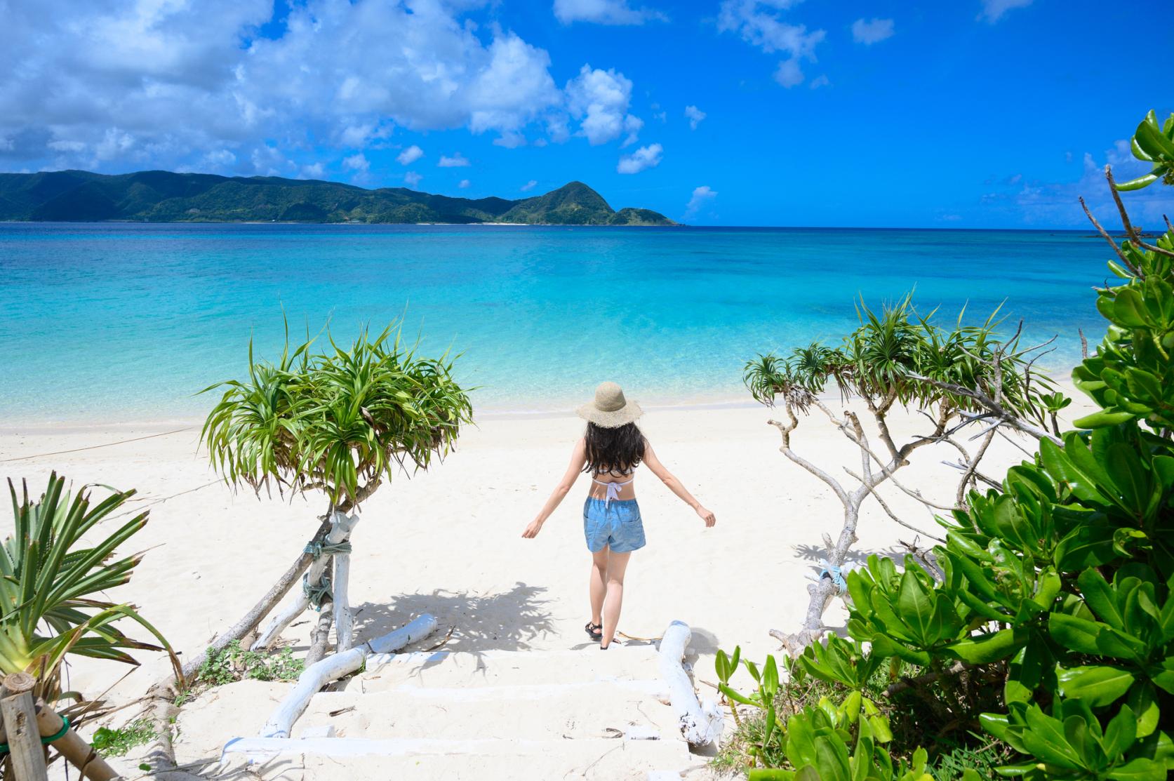
Yonama Beach
Yonama Beach is best known as a sunset spot. On cloudless days, you can watch the sun dropping into an orange sea from an orange sky.
-
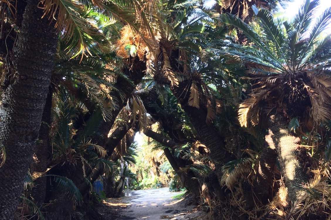
Cape Kanami
The 360-degree panoramic view of the Pacific and the East China Sea is a must-see. On a fine day, there are views of Kakeromajima, Yoroshima and Ukejima, as well as of the Tonbara Rocks, a famous fishing spot. Below is a cycad palm forest.
(Photos: Tokunoshima Tourism Organization)
Tokunoshima southern itinerary
Course data
| Departure/Arrrival point | Start: Kametoku Port, Finish: Hetono Port |
| Distance | Approximately 40.7 km |
| Elevation gain | Approximately 454 m |
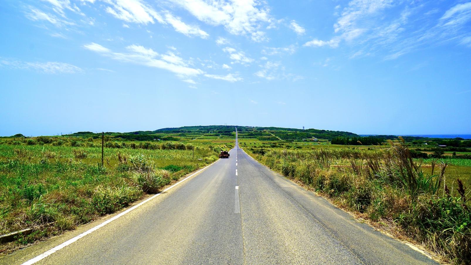
A wide open road without guardrails that gives views of stunning sand dunes along the coast. This is a dynamic route with hills between the beaches. The road through the cane fields is as straight as an arrow and very satisfying to ride. Also stop off at Cape Inutabu and Innojofuta, famous sights of Tokunoshima.
-
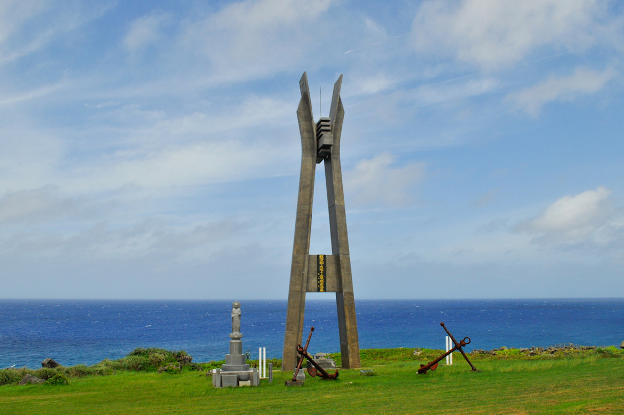
Cape Inutabu
One of the "Ten Sights of Amami", Cape Inutabu is a triangular Ryukyu limestone cliff jutting out into the East China Sea. The cape hosts the Battleship Yamato Memorial Tower, dedicated to all the men who sank with the ship in 1945, which makes a beautiful silhouette as the sun sinks over the far horizon. At the carpark is a refreshment area as well as displays about the Yamato battleship. Also equipped with toilets, rest area and water supply.
(Photos: Tokunoshima Tourism Organization) -
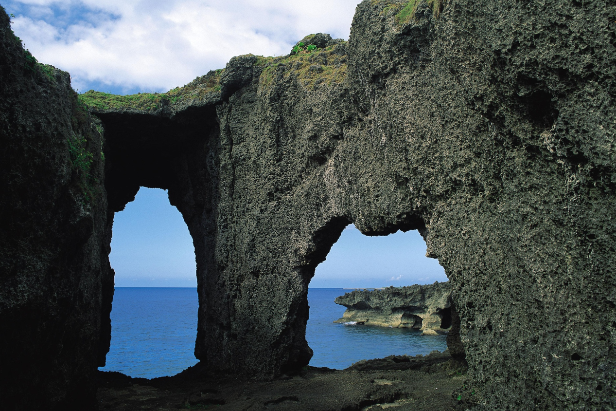
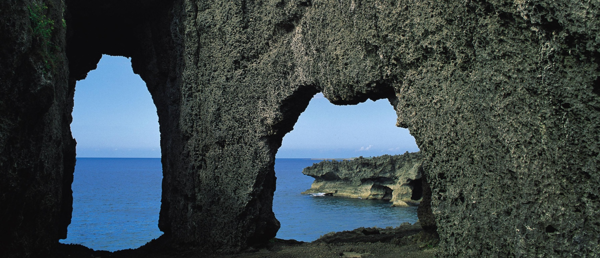
Innojofuta
Strange rock formations and cliffs are dotted along the coast which faces the East China Sea, the result of millennia of erosion of the uplifted coral reef. A famous photography spot is the Megane-iwa "Eyeglass Rock", a set of two sea arches resembling a pair of spectacles.
Contents
Cycle beautiful Kagoshima Top
Where to ride? Recommended cycle routes
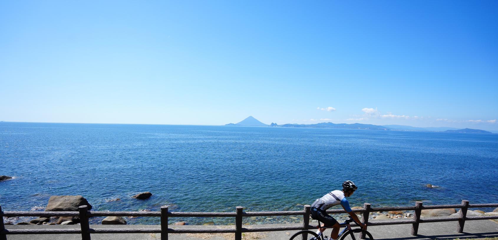
01) Nansatsu route (Nansatsu area)
02) North Satsuma Route (Northern Satsuma Area)
03) Koshikishima route (Northern Satsuma area)
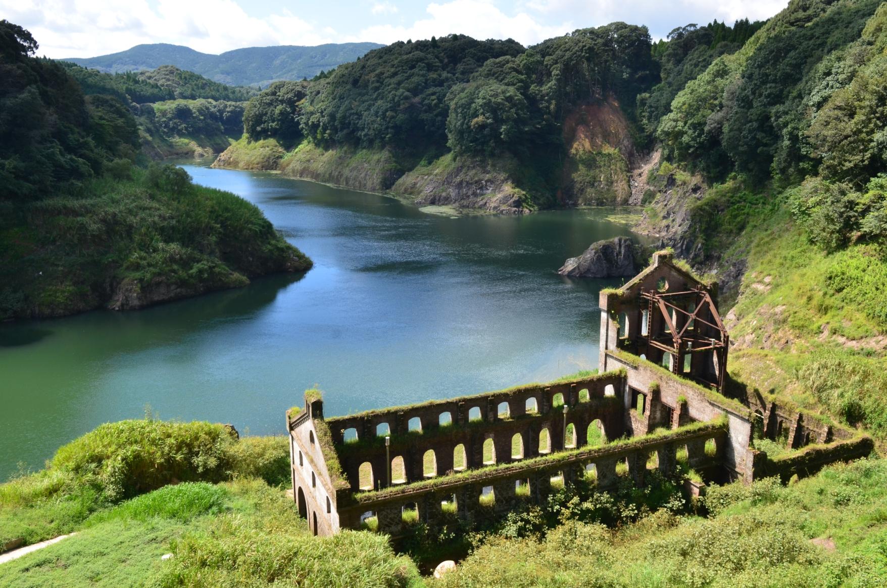
04) Sendai River Basin Route (Northern Satsuma Area)
05) Kirishima・Aira route (Kirishima・Aira area)
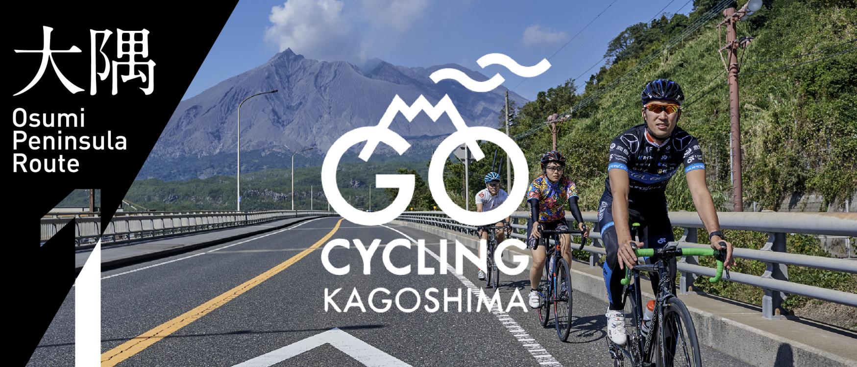
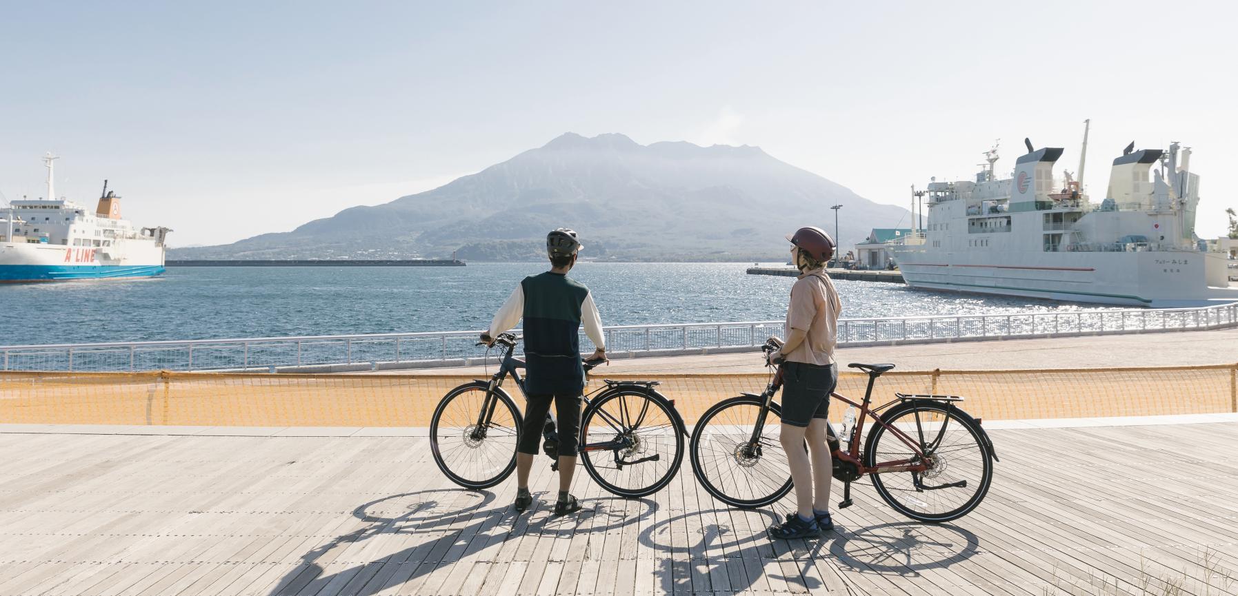
06) Osumi Route (Osumi Area)
08) Tanegashima Route (Kumage Area)
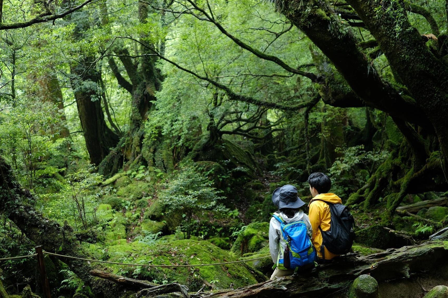
09) Yakushima route (Kumage area)
10) Amami Oshima route (Oshima area)
11) Kikaijima route (Oshima area)
12) Tokunoshima route (Oshima area)
13) Okinoerabujima route (Oshima area)
14) Yoron Island route (Oshima area)
Cycling information
■ Contact information For inquiries
About cycle tourism, please contact the following
Kagoshima Prefecture Tourism, Culture and Sports Department PR Tourism Division
10-1 Kamoike Shinmachi,
Kagoshima City
Phone: 099-286-3045
Share
Most popular
-
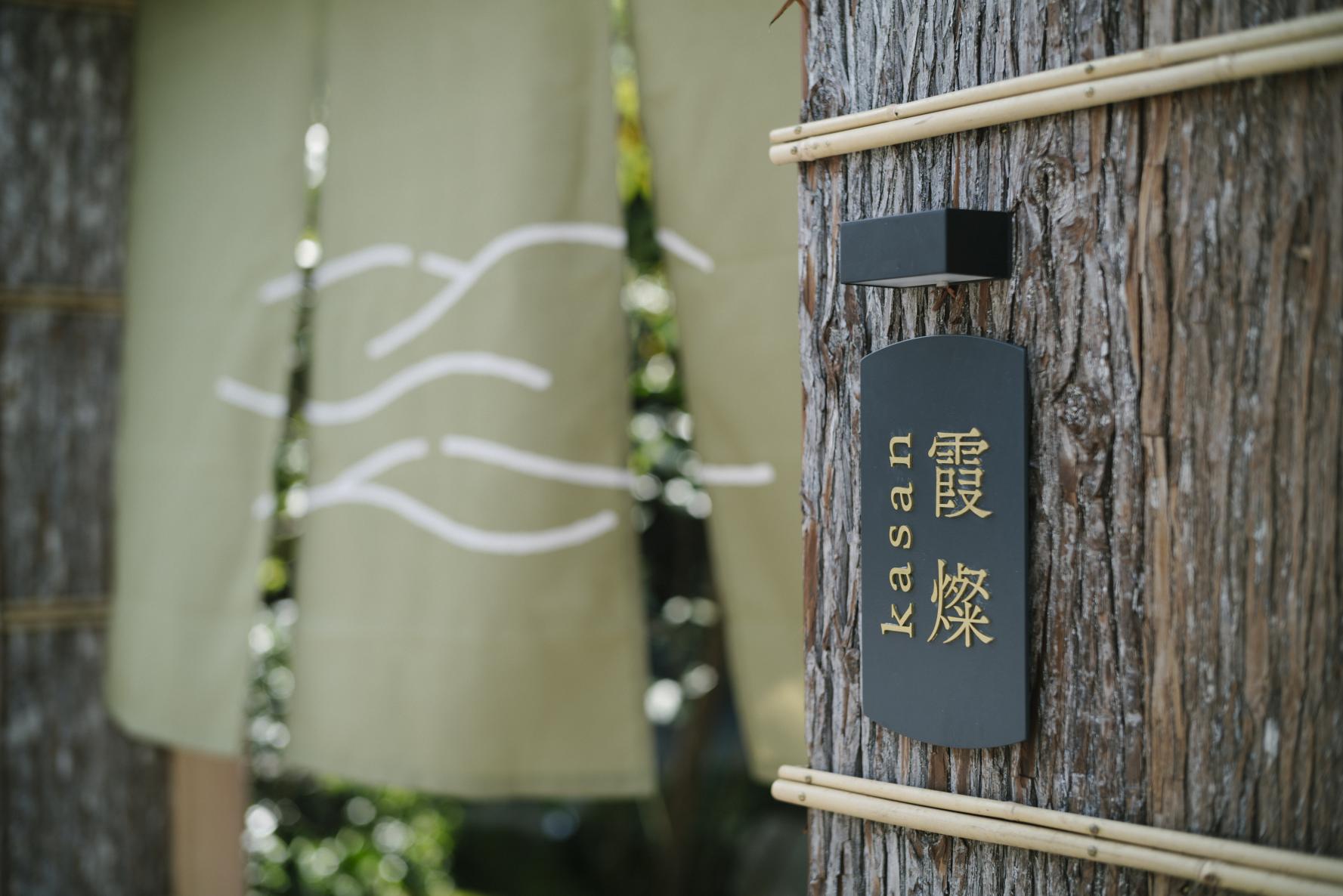
The Complete Guide to "Drifting Inn Kasan," a luxury hotel in Kirishima Enjoy Hot Springs, Gourmet Dining and Sightseeing as if you Were Living There.
-
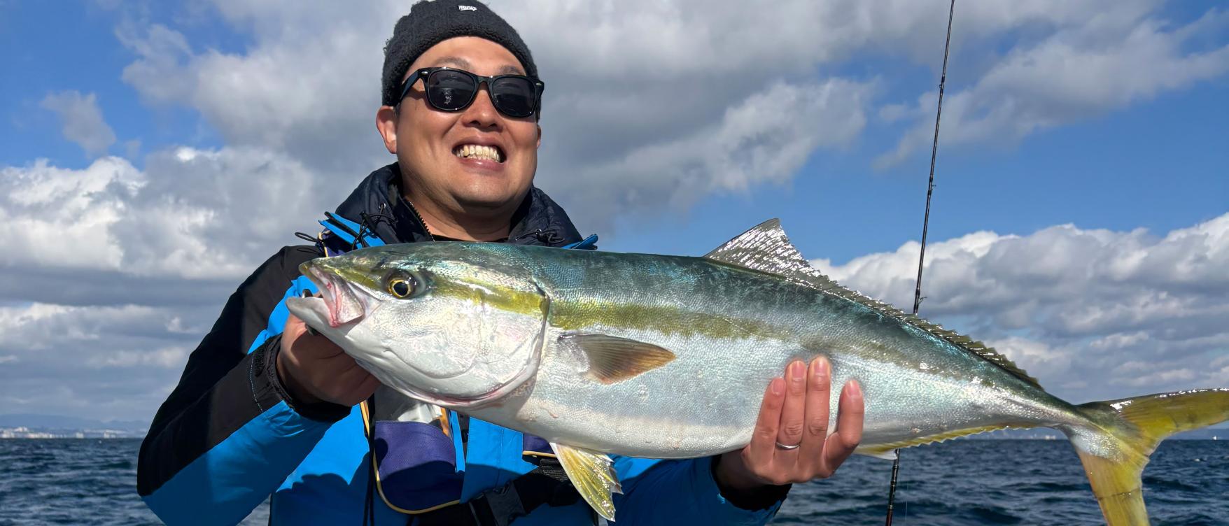
Enjoy a great fishing experience in Kagoshima's Kinko Bay!
-
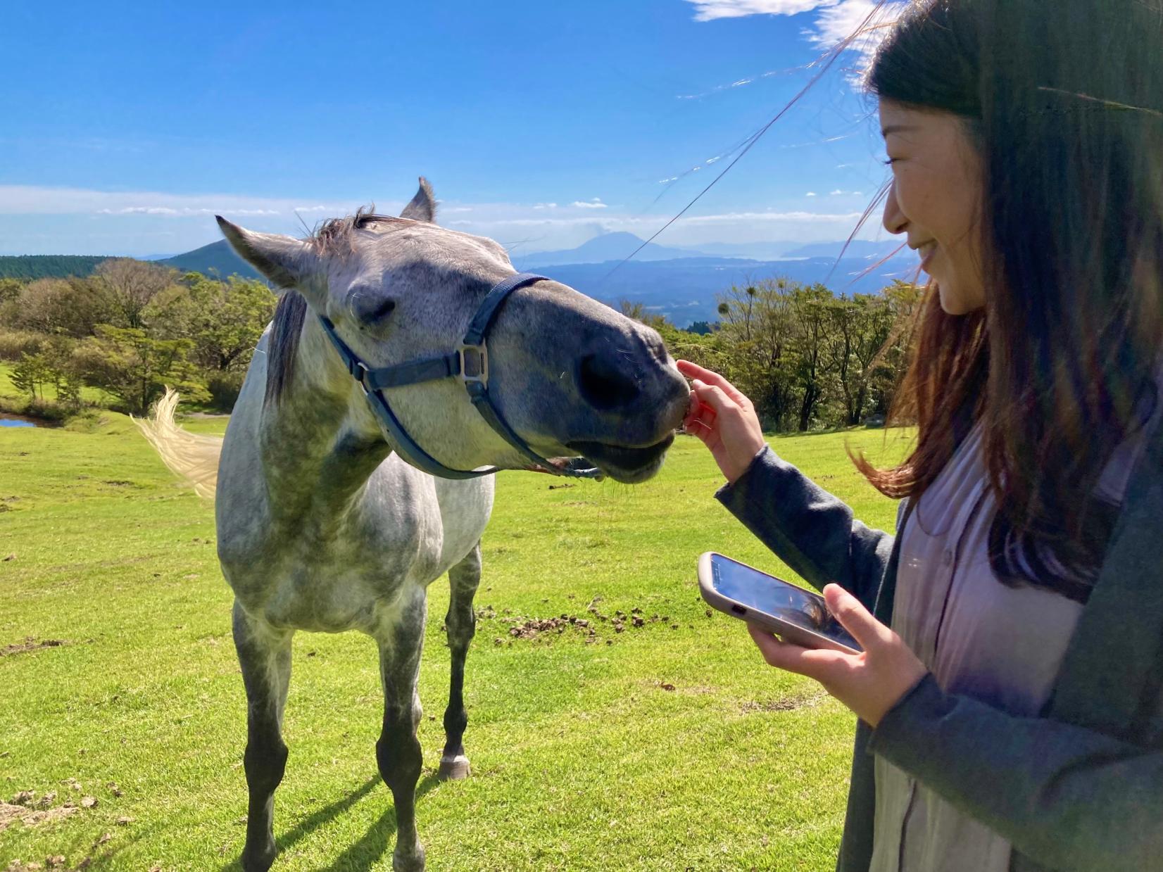
Re-Wild Kagoshima: The ultimate healing experience of interacting with the “Happy Horses”
-
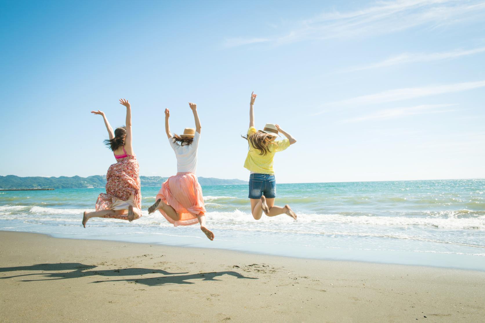
Now is the time for a bike trip! Cycle beautiful Kagoshima
-
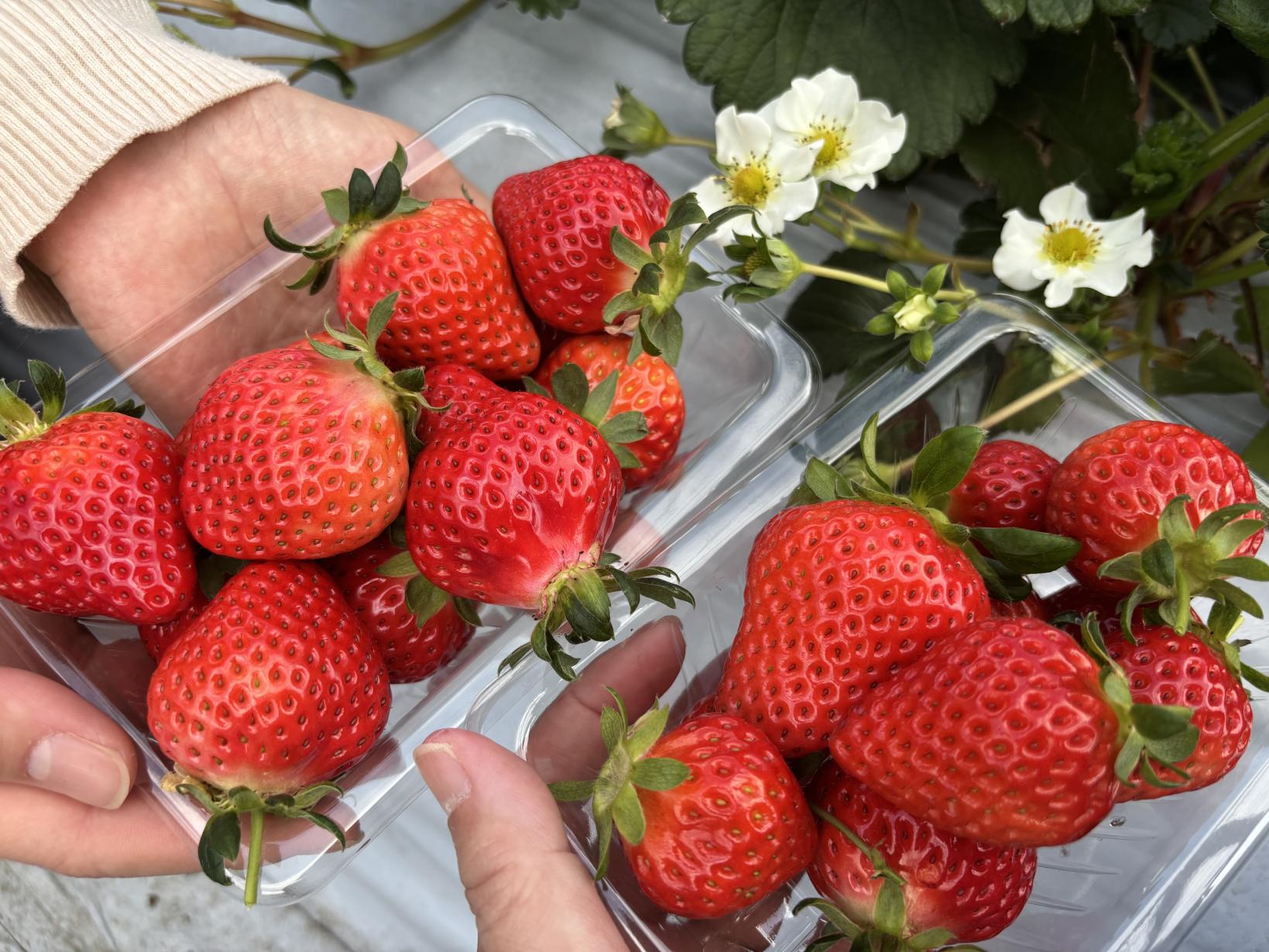
Kagoshima's Best Strawberry Picking Spots! Featuring All-You-Can-Eat and Strawberry Sweets
 Next article for you
-
The Complete Guide to "Drifting Inn Kasan," a luxury hotel in Kirishima Enjoy Hot Springs, Gourmet Dining and Sightseeing as if you Were Living There.
-
Enjoy a great fishing experience in Kagoshima's Kinko Bay!
-
Re-Wild Kagoshima: The ultimate healing experience of interacting with the “Happy Horses”
-
Now is the time for a bike trip! Cycle beautiful Kagoshima
-
Kagoshima's Best Strawberry Picking Spots! Featuring All-You-Can-Eat and Strawberry Sweets
-
Kikaijima Course, an island where mysterious giant banyan trees and butterflies dance
-
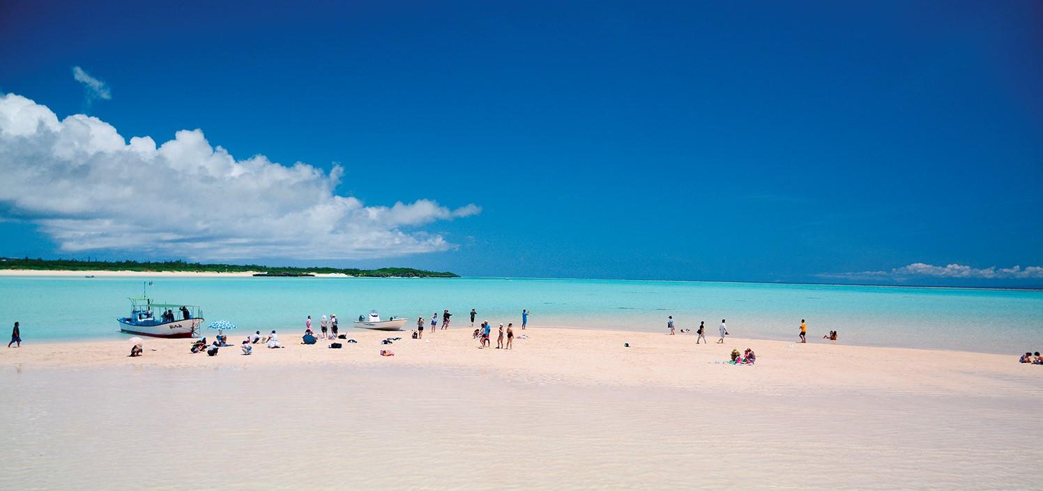
Yoron Island course that heals you on the white sandy beach
-
Enjoy Dynamic Nature and Rich Food! Osumi Route
-
Enjoy the scenery along the river that flows abundantly from the Kirishima Mountains! Sendai River Basin Route
-
Inner Kinko Bay Route: Vocano and Caldera
-
Let's go island-hopping in Kagoshima!
-
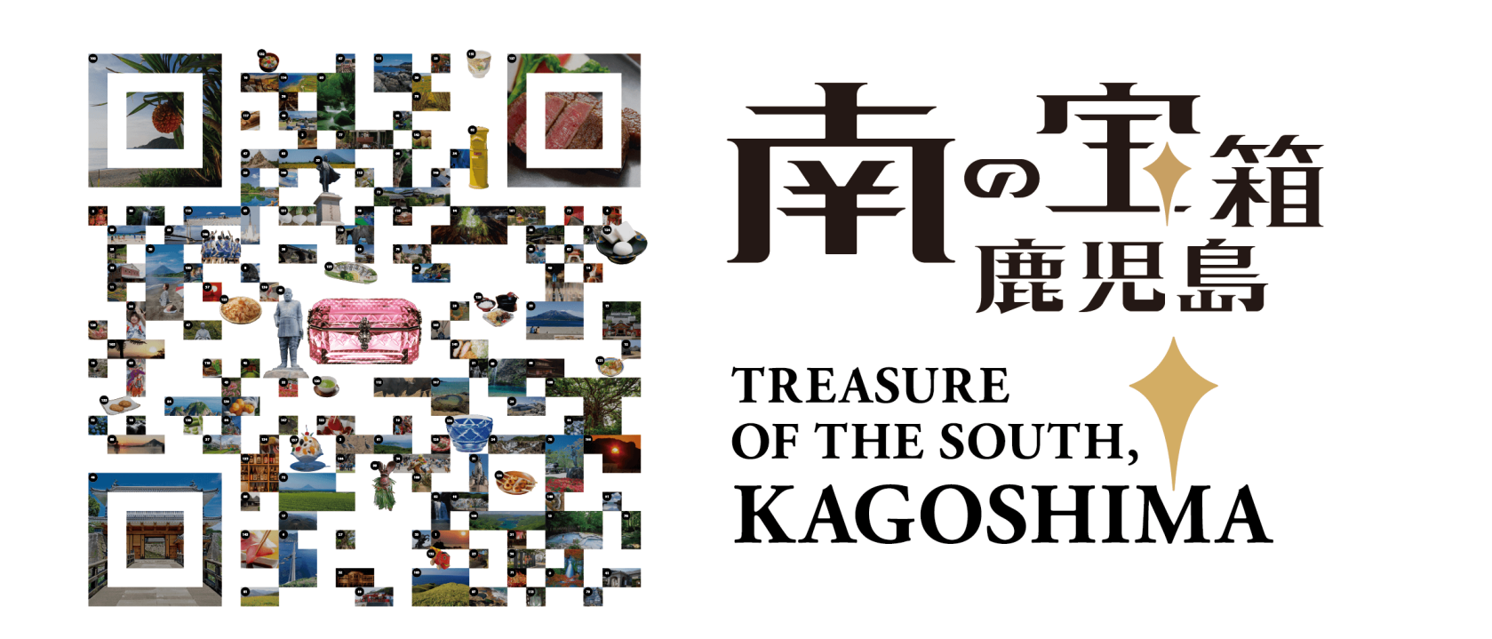
Our latest poster promotes Kagoshima’s tagline “Treasure of the South, Kagoshima” and uses photos of famous attractions across our prefecture, arranged in the style of two-dimensional matrix barcode.
-
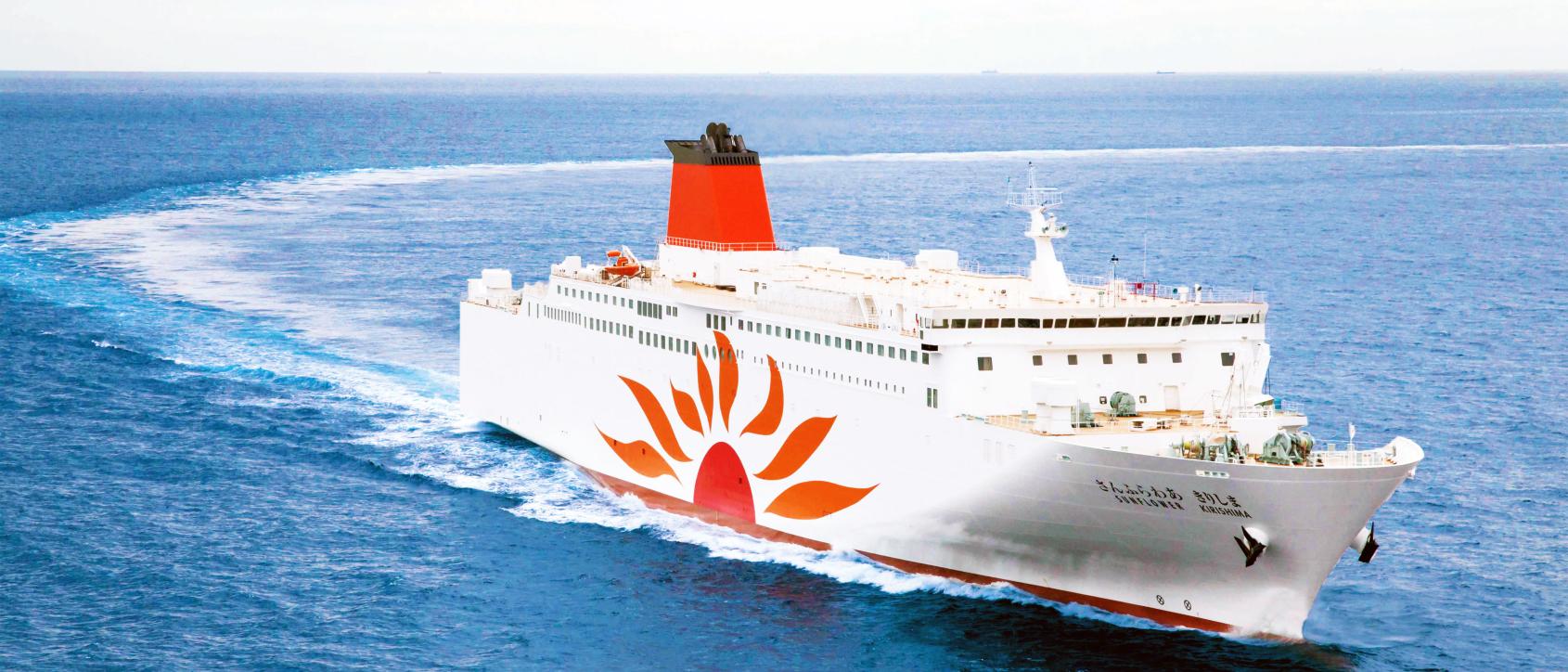
Voyaging from Osaka to Kagoshima on the Sunflower Ferry
-
Discover Kagoshima with the CUTE Pass
-
Helpful information
-
Summer Stay Discount Campaign -Treasure of the South, Kagoshima-
-
Self-Drive in Kyushu: A Scenic Road Trip From Fukuoka to Yakushima’s Ancient Forests
-
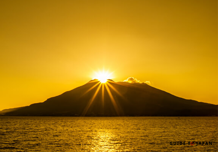
Visit Sakurajima: A Volcano in the Middle of Kagoshima City
-
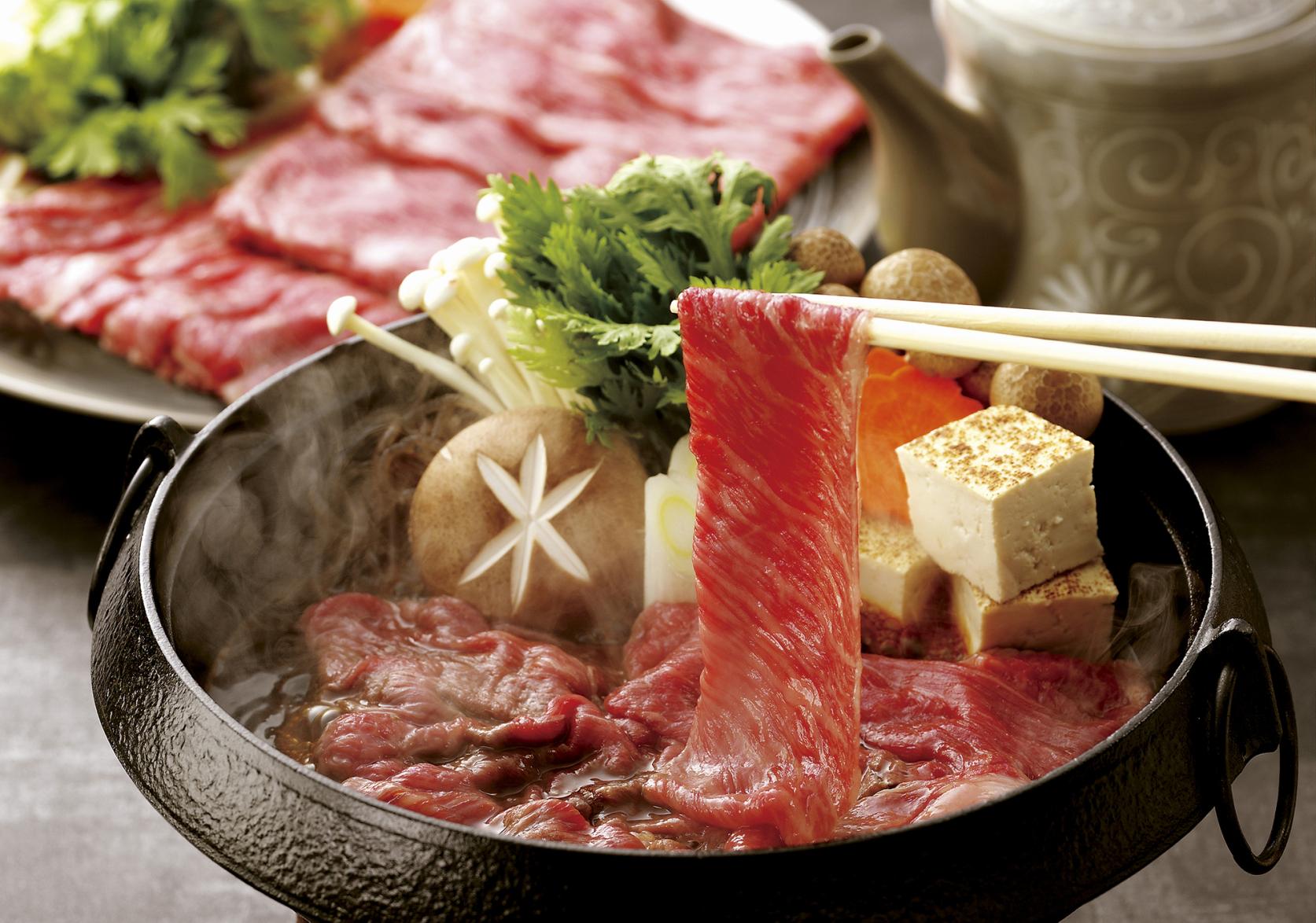
Savouring Kagoshima’s Wagyu
-
Eating and Drinking Your Way Around Kagoshima