
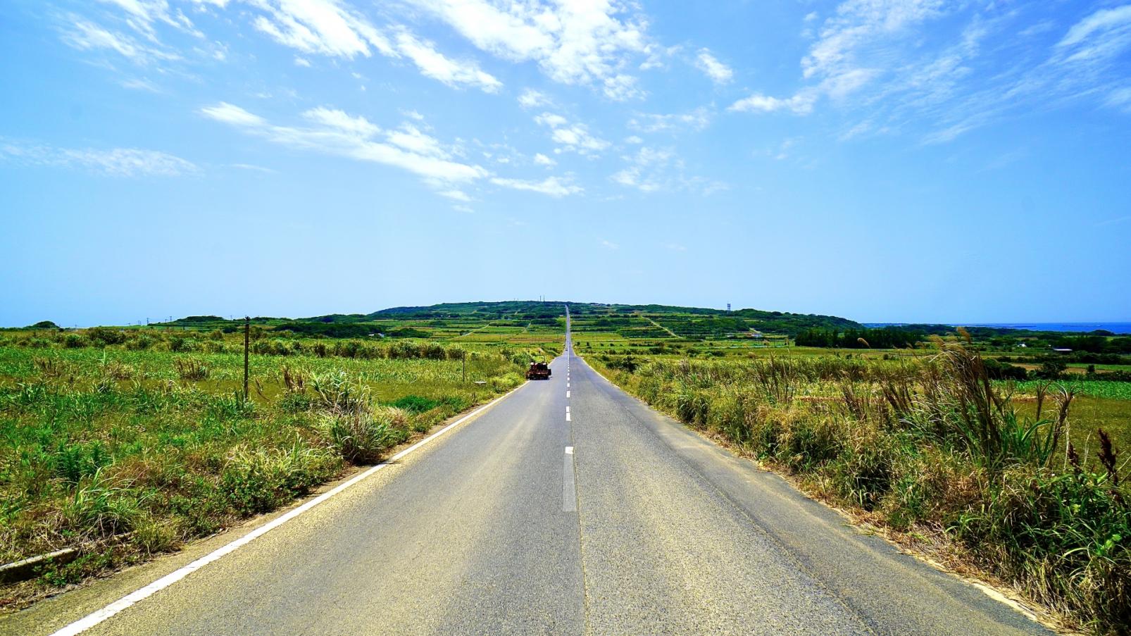
An island of flowers and limestone caverns: the Okinoerabujima Route
Okinoerabujima is some 60 km around, so it can be circled in a single day's riding. The coastal road is fairly flat, so you can enjoy the sea breeze in your hair. With 300-odd caves large and small on the island, you really should put on your explorer hat and take a caving tour.
Okinoerabujima itinerary
Course data
| Departure/Arrrival point | Start: Wadomari Port, Finish: Wadomari Port |
| Distance | Approximately 56.9 km |
| Elevation gain | Approximately 415 m |
This raised coral island is characterized by a rugged coastline and cream-colored sandy beaches.
At Hanzaki, a cape of plunging cliffs, there are no handrails and there is a sense of vast open space.
All cyclists will appreciate the northern part of the island, free from guardrails and electricity poles, particularly the "fucha" blowholes.
Information about where to stop
-
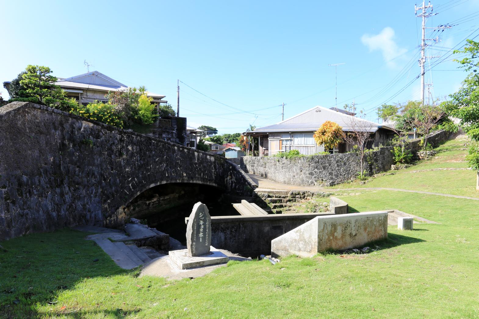
Jikkyonuho
Jikkyonuho means "the river of Serikaku." This spring, sitting in the middle of the village, has long abeen a source of life for people here. In June 2008, it was designated one of the Heisei 100 remarkable waters. It is also a hub of community connection.
(Photos: Okinoerabujima Tourism Association) -
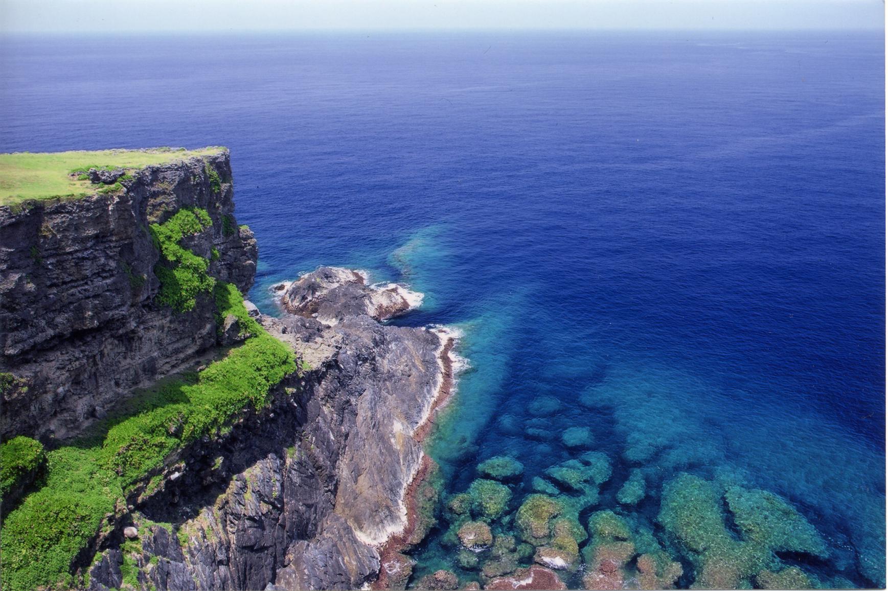
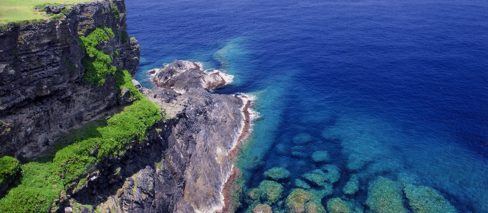
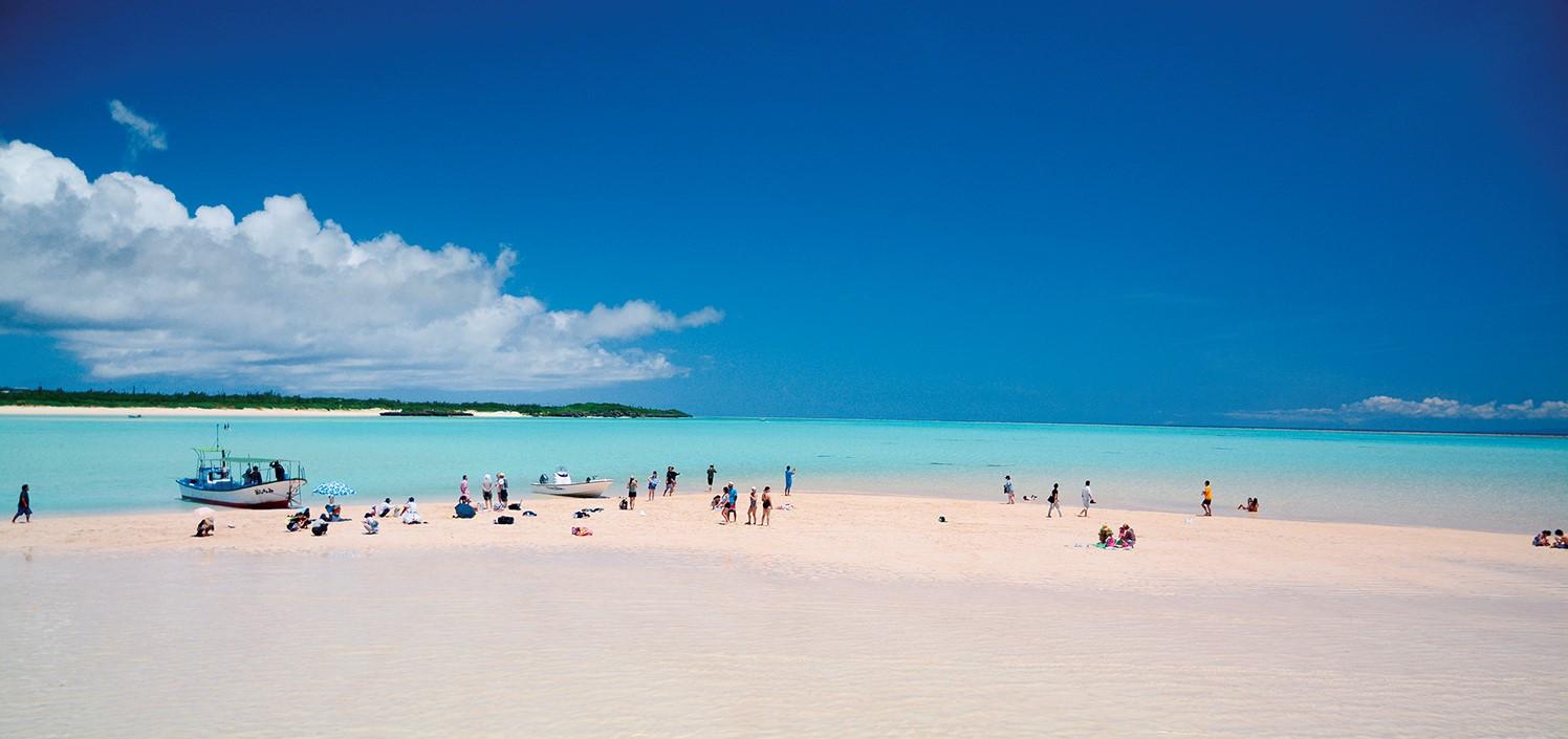
Tamina Cape
This stunning cape at northwest tip of the island is one of the "Ten Sights of Amami." The view of cobalt blue sea and foaming waves crashing onto the rocks from the top of the 51 m-high cliff is spectacular. The road may be perilous but it is vital to visit here and feel the power of nature. On calm days, you may spot turtles swimming. This is a good rest stop, with toilets on site.
(Photos: Okinoerabujima Tourism Association)
Contents
Cycle beautiful Kagoshima Top
Where to ride? Recommended cycle routes
01) Nansatsu route (Nansatsu area)
02) North Satsuma Route (Northern Satsuma Area)
03) Koshikishima route (Northern Satsuma area)
04) Sendai River Basin Route (Northern Satsuma Area)
05) Kirishima・Aira route (Kirishima・Aira area)
06) Osumi Route (Osumi Area)
08) Tanegashima Route (Kumage Area)
09) Yakushima route (Kumage area)
10) Amami Oshima route (Oshima area)
11) Kikaijima route (Oshima area)
12) Tokunoshima route (Oshima area)
13) Okinoerabujima route (Oshima area)
14) Yoron Island route (Oshima area)
Cycling information
■ Contact information For inquiries
About cycle tourism, please contact the following
Kagoshima Prefecture Tourism, Culture and Sports Department PR Tourism Division
10-1 Kamoike Shinmachi,
Kagoshima City
Phone: 099-286-3045
Share
Most popular
-
The Complete Guide to "Drifting Inn Kasan," a luxury hotel in Kirishima Enjoy Hot Springs, Gourmet Dining and Sightseeing as if you Were Living There.
-
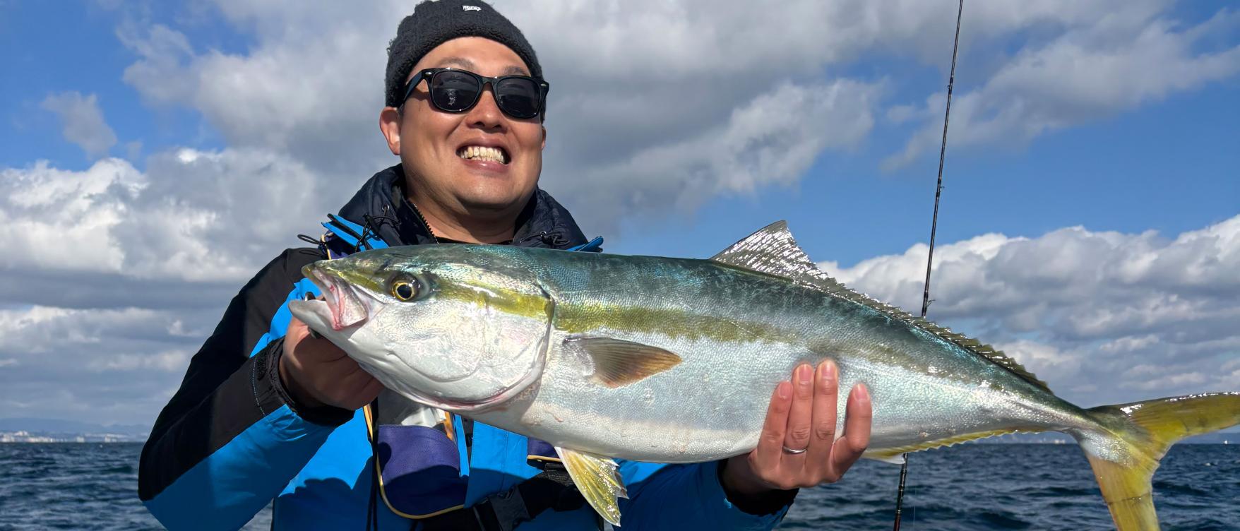
Enjoy a great fishing experience in Kagoshima's Kinko Bay!
-
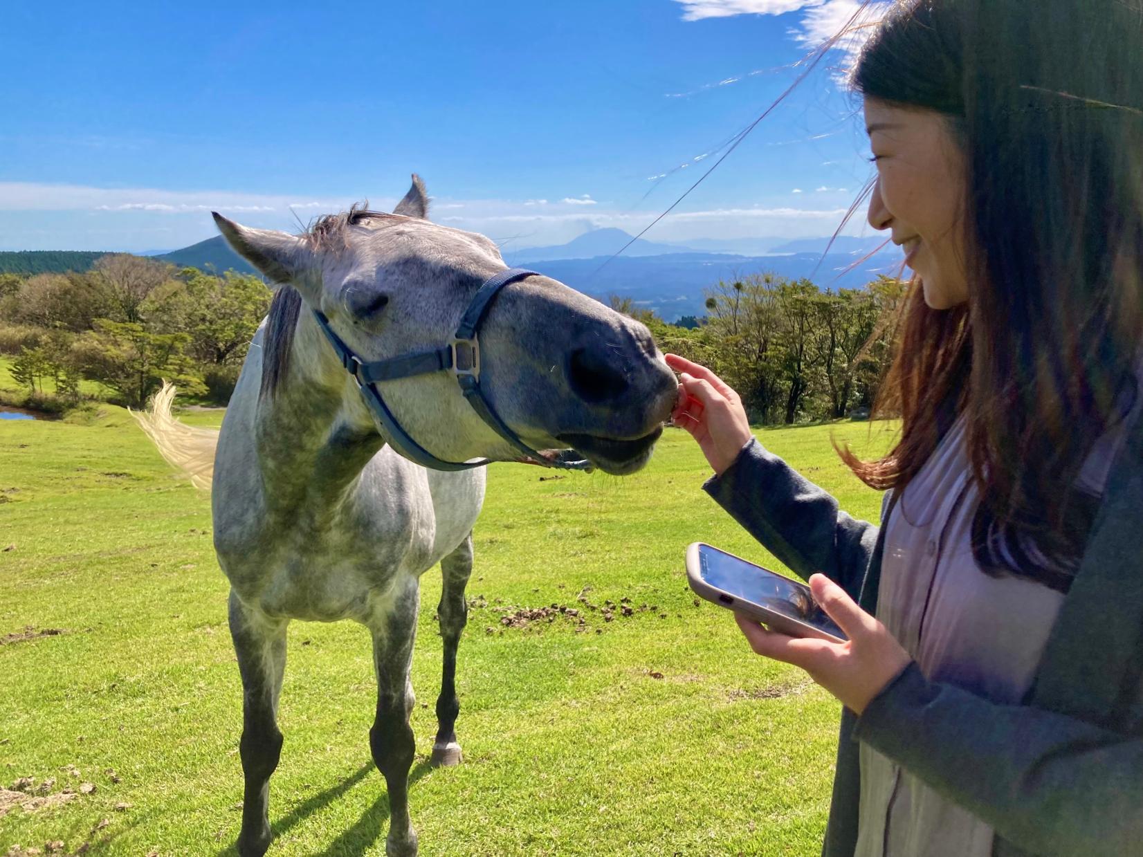
Re-Wild Kagoshima: The ultimate healing experience of interacting with the “Happy Horses”
-
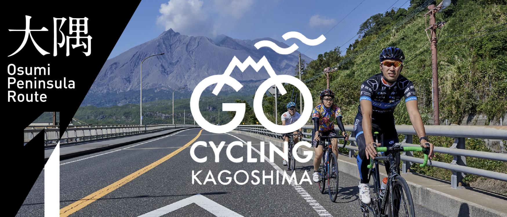
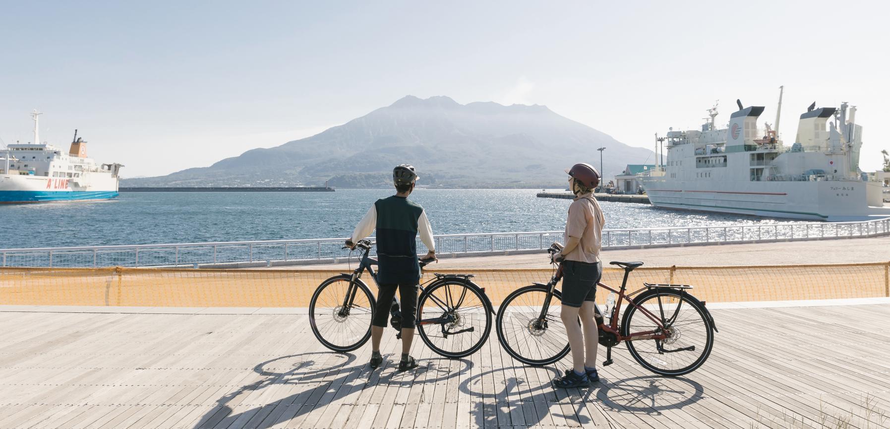
Now is the time for a bike trip! Cycle beautiful Kagoshima
-
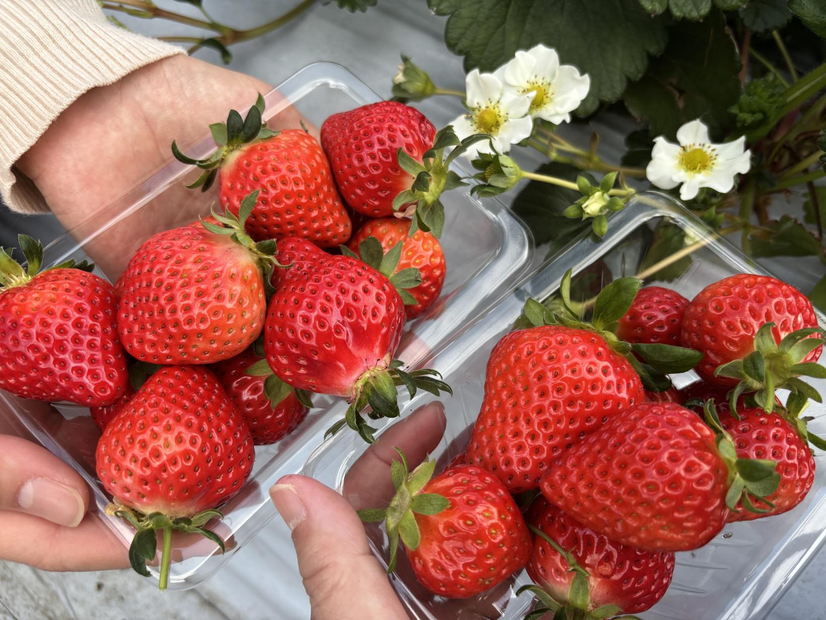
Kagoshima's Best Strawberry Picking Spots! Featuring All-You-Can-Eat and Strawberry Sweets
 Next article for you
-
The Complete Guide to "Drifting Inn Kasan," a luxury hotel in Kirishima Enjoy Hot Springs, Gourmet Dining and Sightseeing as if you Were Living There.
-
Enjoy a great fishing experience in Kagoshima's Kinko Bay!
-
Re-Wild Kagoshima: The ultimate healing experience of interacting with the “Happy Horses”
-
Now is the time for a bike trip! Cycle beautiful Kagoshima
-
Kagoshima's Best Strawberry Picking Spots! Featuring All-You-Can-Eat and Strawberry Sweets
-
Kikaijima Course, an island where mysterious giant banyan trees and butterflies dance
-
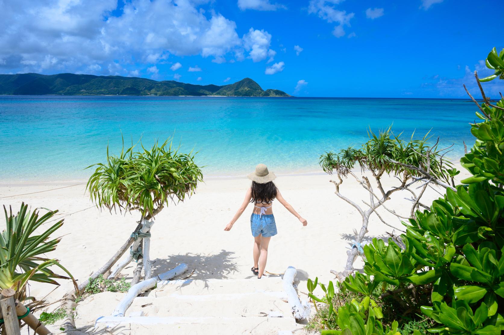
Yoron Island course that heals you on the white sandy beach
-
Enjoy Dynamic Nature and Rich Food! Osumi Route
-
Enjoy the scenery along the river that flows abundantly from the Kirishima Mountains! Sendai River Basin Route
-
Inner Kinko Bay Route: Vocano and Caldera
-
Let's go island-hopping in Kagoshima!
-
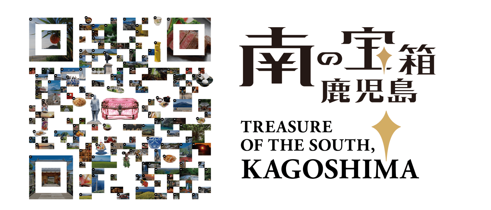
Our latest poster promotes Kagoshima’s tagline “Treasure of the South, Kagoshima” and uses photos of famous attractions across our prefecture, arranged in the style of two-dimensional matrix barcode.
-
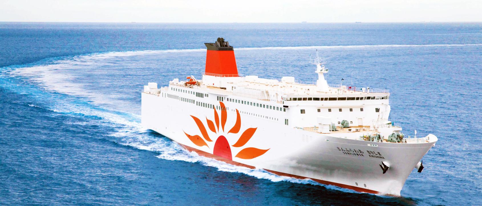
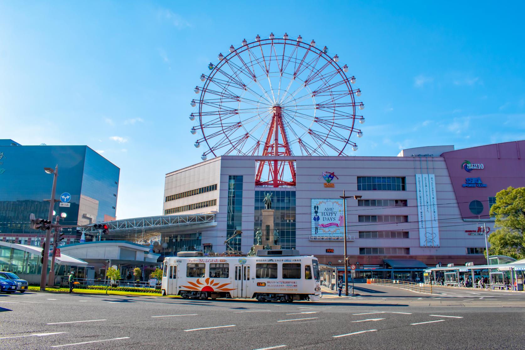
Voyaging from Osaka to Kagoshima on the Sunflower Ferry
-
Discover Kagoshima with the CUTE Pass
-
Helpful information
-

Summer Stay Discount Campaign -Treasure of the South, Kagoshima-
-
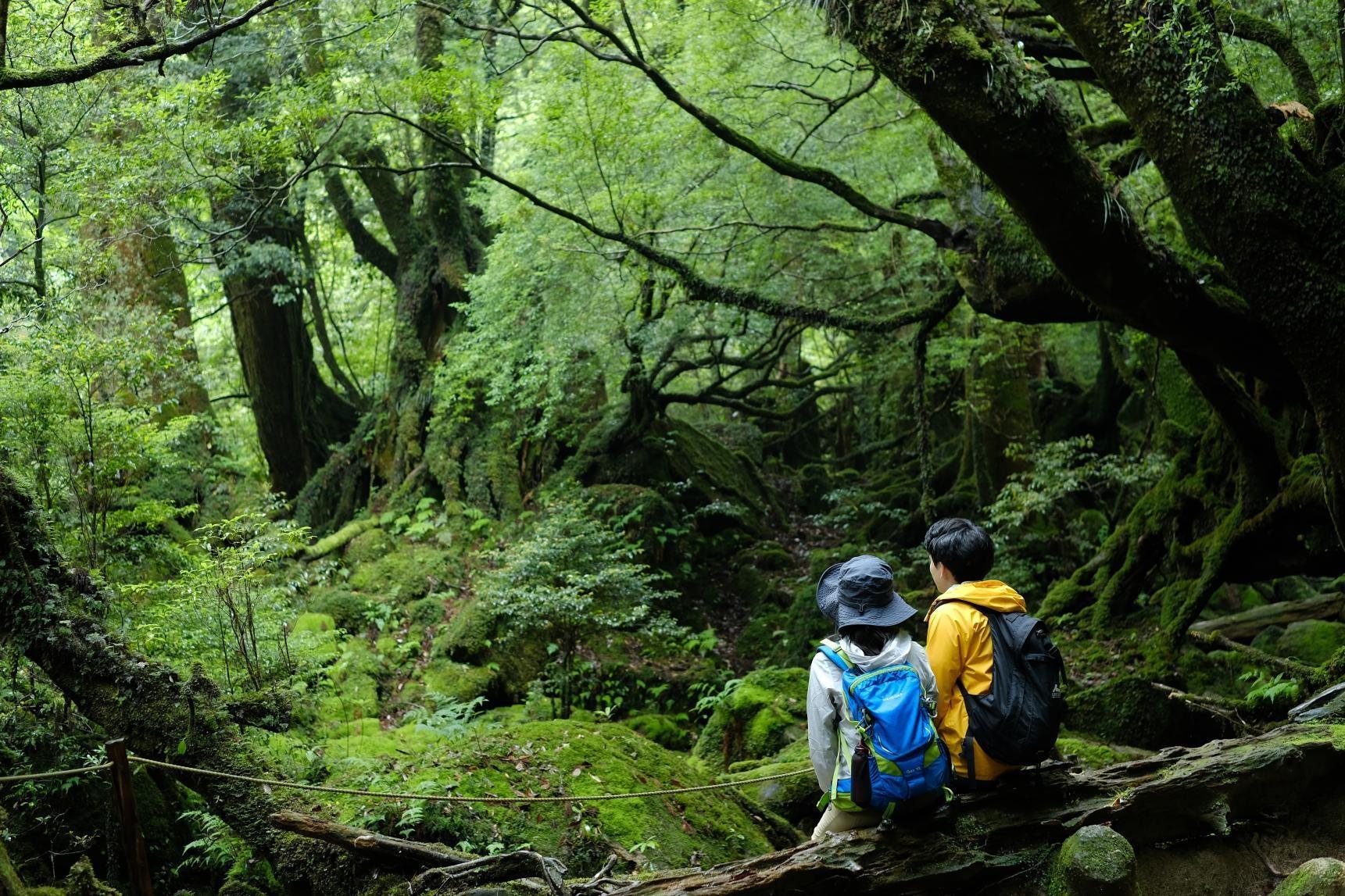
Self-Drive in Kyushu: A Scenic Road Trip From Fukuoka to Yakushima’s Ancient Forests
-
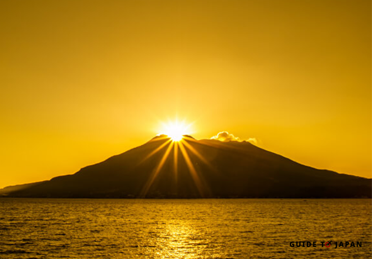
Visit Sakurajima: A Volcano in the Middle of Kagoshima City
-
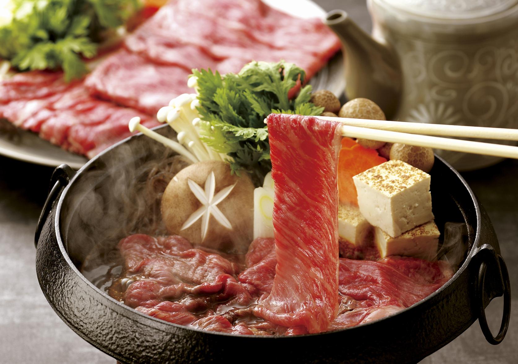
Savouring Kagoshima’s Wagyu
-
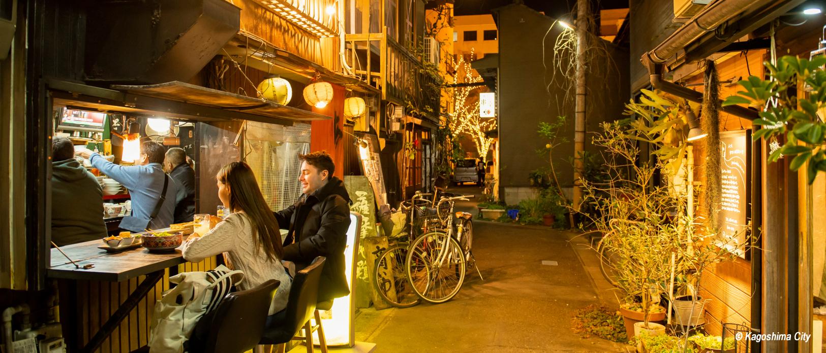
Eating and Drinking Your Way Around Kagoshima