
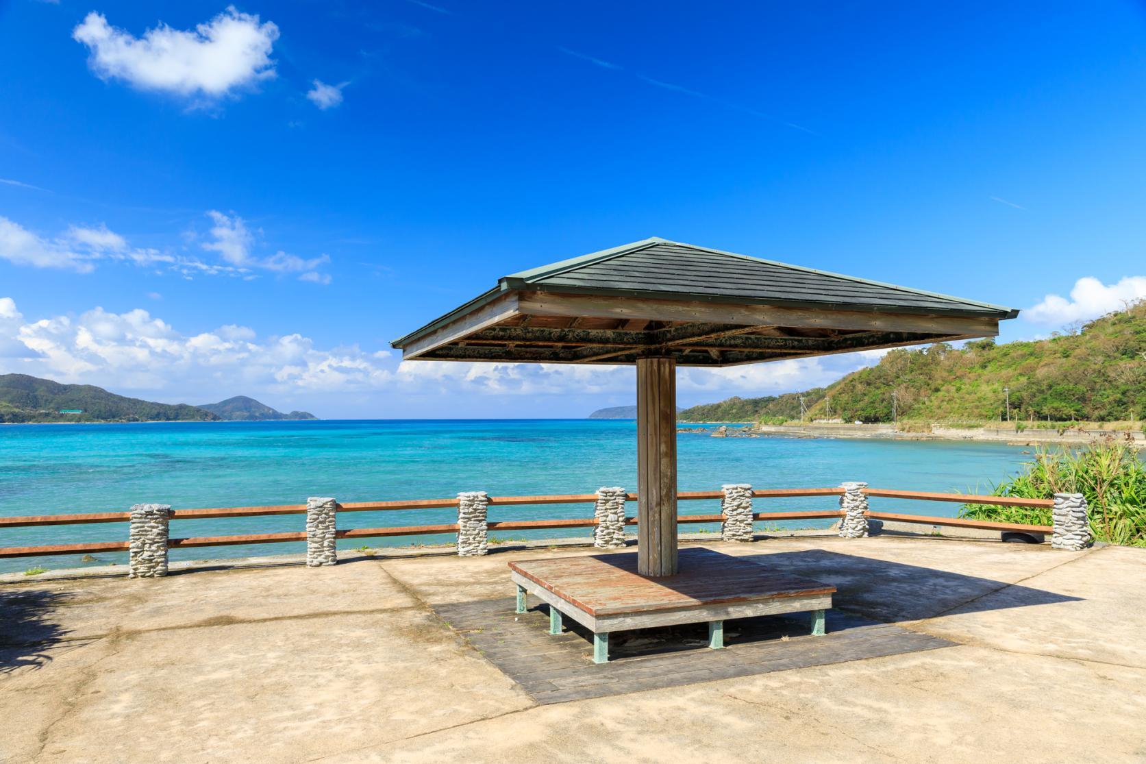
Ride through gorgeous forests: the Amami Oshima Route
Threading between mountains and the sea, this stunning road must be on every cyclist's bucket list. This is a route that will immerse you in the culture and nature of Amami Oshima from native mangrove forests to white sand beaches.
Amami northwest itinerary
Course data
| Departure/Arrrival point | Start: AiAi Hiroba, Finish: Turtle monument |
| Distance | Approximately 72.3 km |
| Elevation gain | Approximately 1,015 m |
After leaving from the starting point, Naze, there is a mountain pass to cross but from there, the road is flat. The scenery is wide and varied, from the impressive Kaganbana Tunnel to village churches that are part of everyday life around here.
-
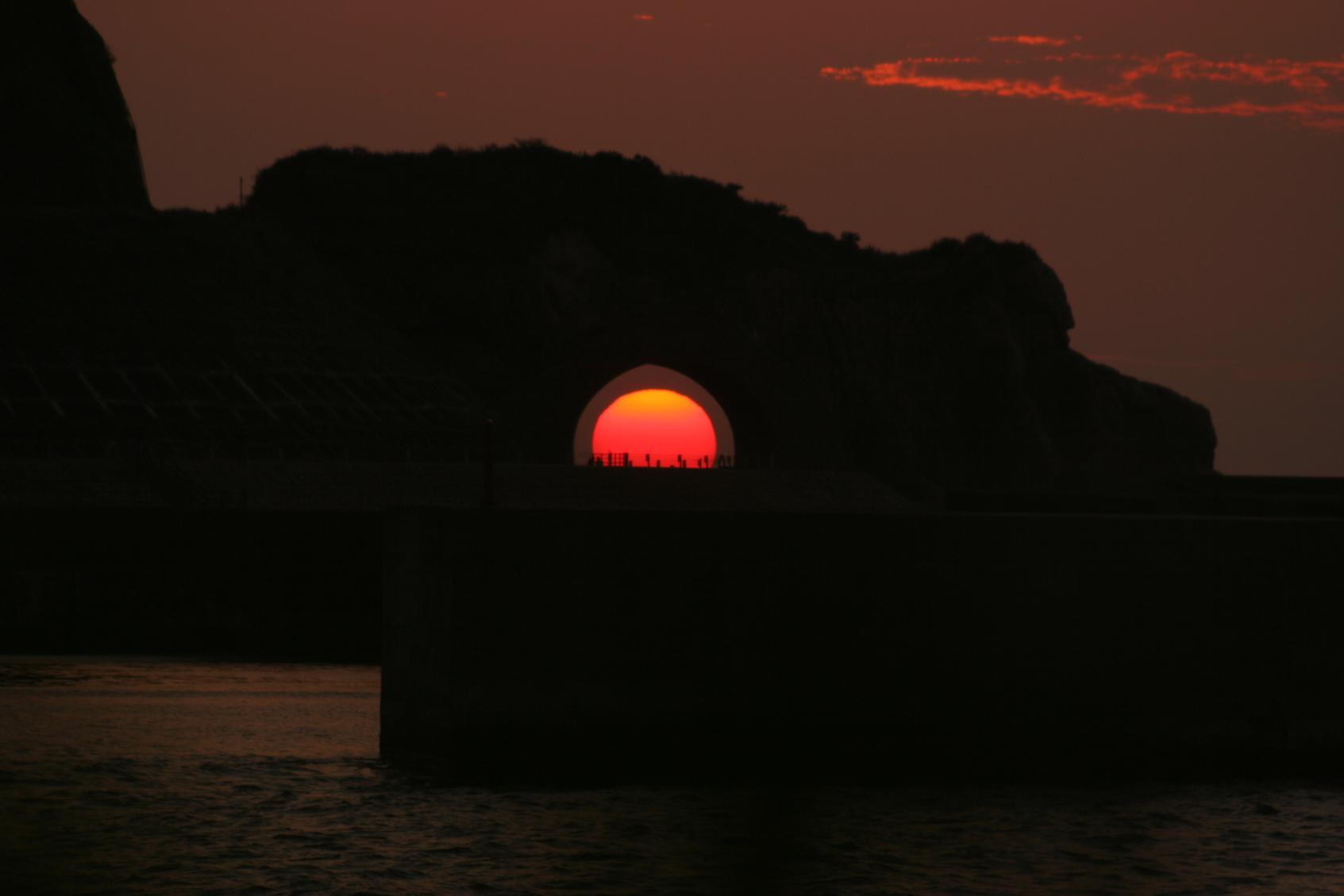
Kaganbana Tunnel
A short, 29 m-long tunnel on the prefectural road in Tatsugo-cho. Locally it is called the "dragon's eye", because at the moment before the sun sets in spring and autumn, the whole sun perfectly fills the tunnel.
-
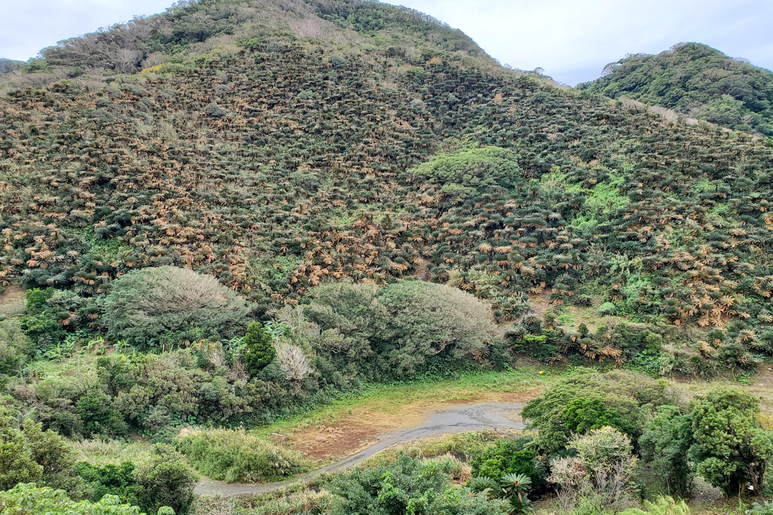
Cycad Communities
The sotetsu, or Cycad revoluta, is a species of cycad that grows only in parts of China, southern Kyushu, Amami Oshima and Okinawa. It has long been grown on Amami as a hedge to demarcate properties or as a windbreak, and today it is grown as an ornamental plant. Its pith (nari) is still used today used in the local dishes such as "nari miso."
Amami northeast itinerary
Course data
| Departure/Arrrival point | Start: Turtle monument, Finish: AiAi Hiroba |
| Distance | Approximately 44.0 km |
| Elevation gain | Approximately 414 m |
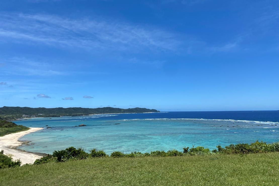
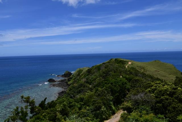
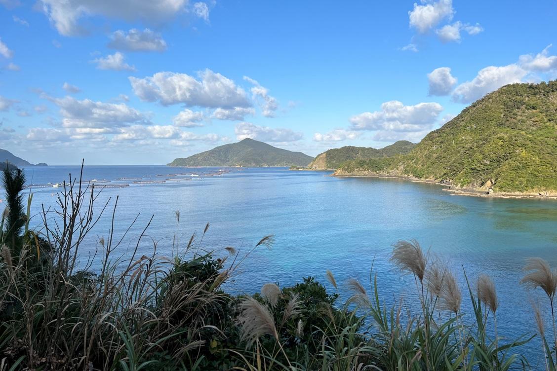
This is an itinerary for ocean lovers. There is Cape Kasari, from which you can see the East China Sea to the left and the Pacific Ocean to your right, and Cape Ayamaru jutting out into the Pacific. This is a route of gentle hills. There are plenty of restaurants along the way, so you can fully appreciate the food culture of Amami on the ride.
-
Cape Ayamaru
One of the "Ten Sights of Amami" in northeast Amami Oshima. This is a fantastic spot to rest with café, toilets and amazing views. From the elevated park, look out at the 180-degree view of the horizon from Cape Kasari at left to Tomori Beach at right. This brings home the majesty of Earth's form. You might even spy whales in winter. This spot is not far from the airport, so if your ride starts from there, make it your first stop.
-
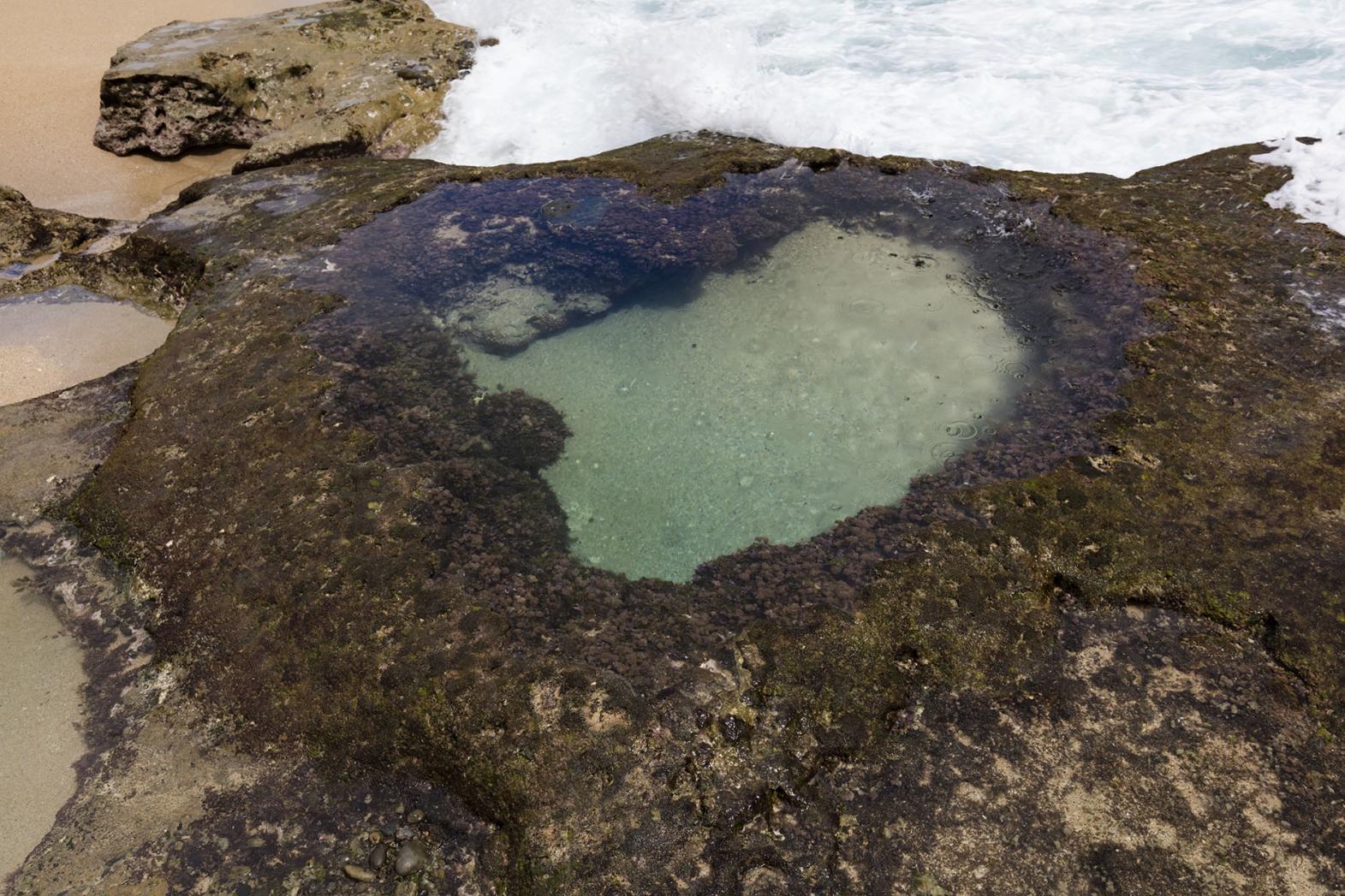
Heart Rock
A heart-shaped rockpool that appears only at low tide. Gaining fans as a lovers' powerspot in recent years, it is also said that romantic wishes will be fulfilled if you save a photo of the rockpool to your phone's lock screen. The best time to view Heart Rock is an hour either side of low tide when the water level is at under 80 cm, and when the sea is calm. This itinerary is gentle and open, but the entrance to Heart Rock is easily missed, so watch for it carefully (then park at carpark and walk).
Amami Central North (Yamato village) itinerary
Course data
| Departure/Arrrival point | Start: Itsukushima Shrine, Finish: AiAi Hiroba |
| Distance | Approximately 49.3 km |
| Elevation gain | Approximately 1,145 m |
Enjoy a ride along this coast of plunging cliffs and coral reefs. It is a challenging itinerary of flat patches interspersed with steep climbs. The southern part of the island has few shops, so bring food for the road.
-
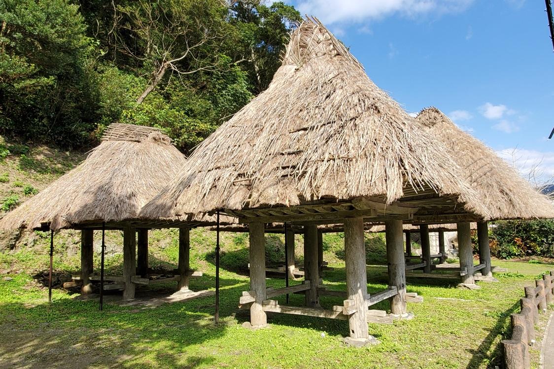
Boregura
These grain storehouses represent ancient architecture, built without the use of a single nail. The thatched part is the storage area and has a structure preventing rats from climbing it. It is a designated heritage of Kagoshima Prefecture.
-
Cape Miyako
Come out through the Ryukyu-chiku bamboo to a stunning view over the East China Sea (walk in from carpark). The road into Miyakozaki is hilly and challenging, yet the way scenery unfolds before you clears away all fatigue. With a little luck, you might even see dolphins or whales (in winter).
Amami Central South (Sumiyo) itinerary
Course data
| Departure/Arrrival point | Start: AiAi Hiroba, Finish: Heart-shaped View |
| Distance | Approximately 45.3 km |
| Elevation gain | Approximately 931 m |
This route passes through a number of long tunnels under green mountains. You will gain perspective on the mountain range that is the backbone of Amami Oshima.
-
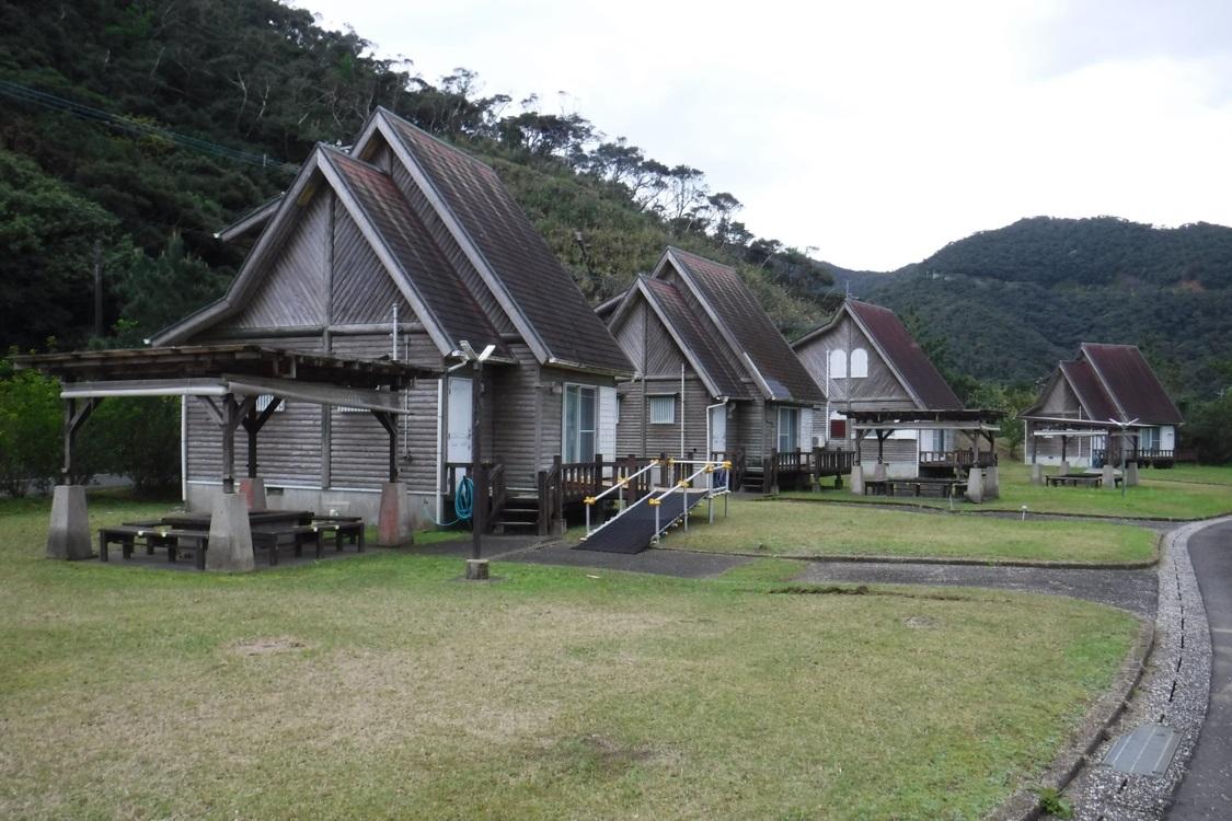
Uchiumi Park
This park features rental bungalows that face the calm waters of Uchiumi Bay, Sumiyo, Amami City. It is a great place to stop off, with a tourist hub selling tankan orange juice nearby (and renting bikes too), as well as a complex where you can relax in a herb bath.
(Photos: Amami City Sumiyo General Branch Office) -

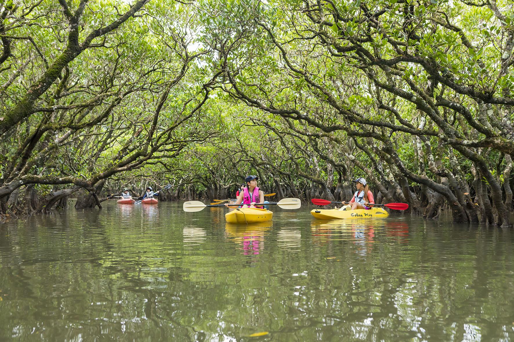
Mangrove forest
The virgin mangrove forest of Sumiyo is the second-largest in Japan. Mangroves grow in estuarine environments where river waters mix with the sea. Do not miss the grandiose view from the lookout. The photogenic scenes go on and on. You can also explore the waters by canoe.
Amami Yuwan itinerary
Course data
| Departure/Arrrival point | Start: Nagara village, Finish: Funakoshi Beach |
| Distance | Approximately 24.8 km |
| Elevation gain | Approximately 328 m |
The road along the shore of Yakeuchi Bay is essentially flat and of no concern to riders of any ability. Take a relaxed cruise between little settlements.
-
Ikegachi viewing platform
This is a sunset spot. Looking to the west is most recommended. The road is quite flat until the Funakoshi Beach, so this is a good ride to relax and enjoy the salty breeze.
-
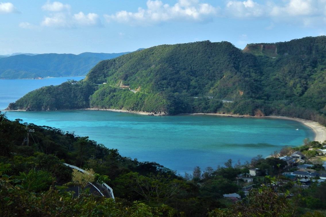
Funakoshi Beach
A dazzling 800 meter-long stretch of white sand. During spring low tides, a reef stretches out to the horizon. In summer, swimming and snorkelling are all the rage. From above, you can see the "micro atoll," a donut-shaped coral reef.
Amami Setouchi-cho itinerary
Course data
| Departure/Arrrival point | Start: Yadori Beach, Finish: Nagara village |
| Distance | Approximately 39.4 km |
| Elevation gain | Approximately 961 m |
This route takes in the calm scenery of Setouchi. There is a surprise around every corner and considering the sheer number of corners, it is a very exciting ride. The ups and downs also make this a slightly harder course.
-
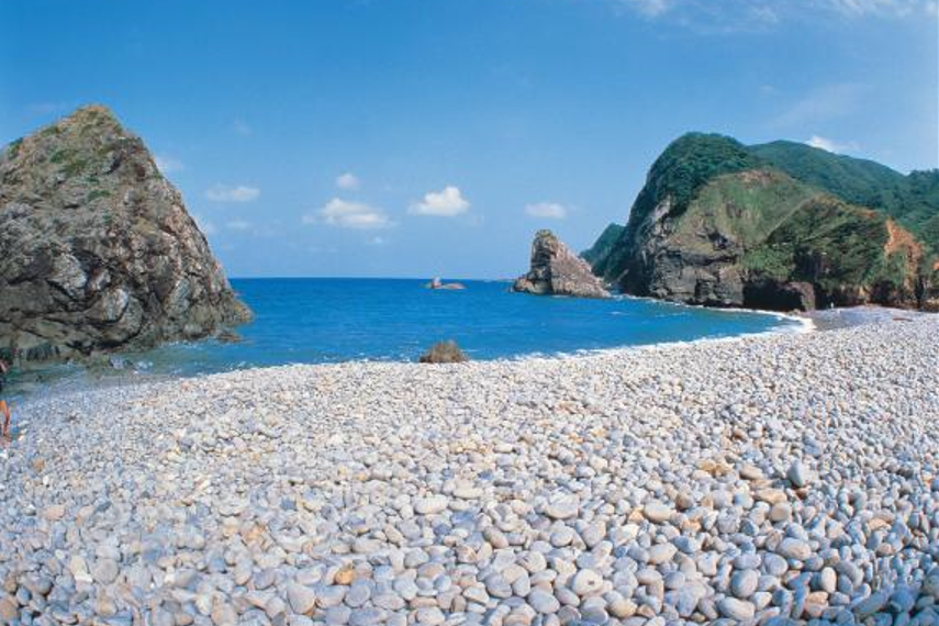
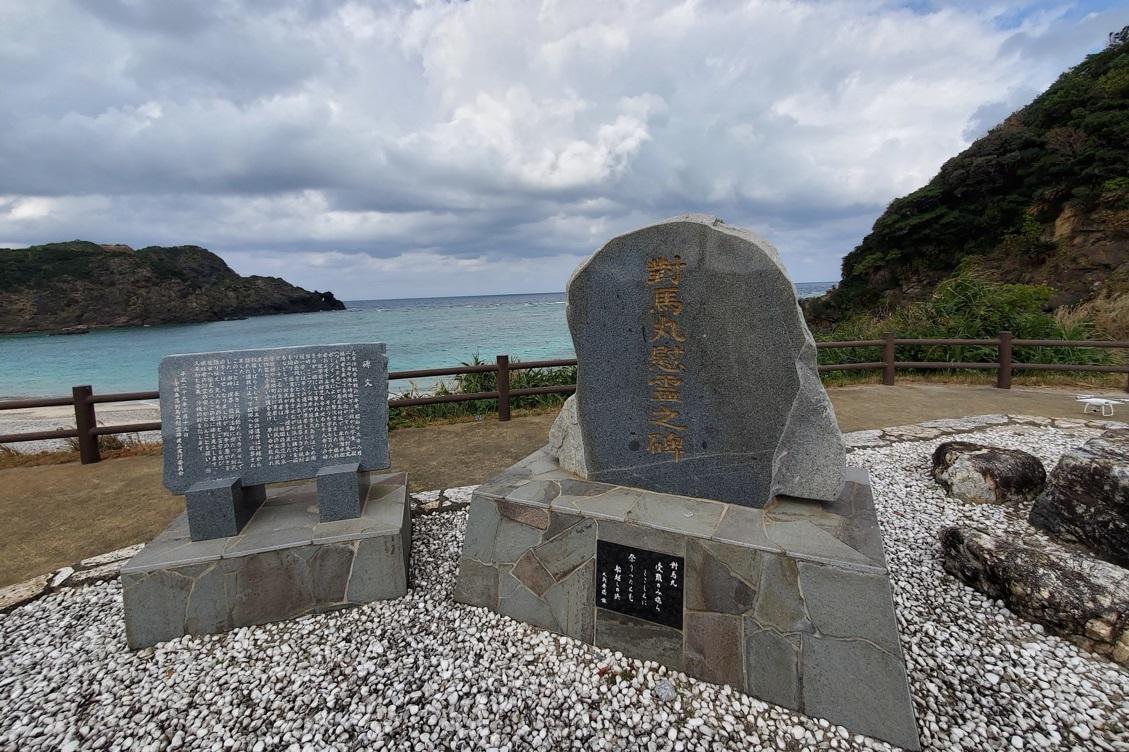
Honohoshi Beach
Facing the Pacific, the action of the heavy waves on stones and sand across millennia have created pebbles. When a wave draws out, the sound of the clashing stones is like a taiko drum. Take a break here, sit down by the shore and listen to the clatter of the stones. The scenery is excellent along the road, peppered with mysterious rocky outcrops and caves.
-
Heart-shaped View
In Setouchi-cho in the south of Amami Oshima is an outlook over a "heart-shaped view." It is a beautiful view over the clear blue waters of a heart-shaped bay, contrasting with the green of the mountains. It is a popular spot for couples too.
Complete all six routes for the full circuit of the island
Six routes for the areas that make up Amami Oshima. If you ride all of them, you will have make the full circuit of the island. Eat your heart out on your Amami Oshima ride, taking in each of its different areas from deep forests to seas stretching out to the horizon.
Contents
Cycle beautiful Kagoshima Top
Where to ride? Recommended cycle routes
01) Nansatsu route (Nansatsu area)
02) North Satsuma Route (Northern Satsuma Area)
03) Koshikishima route (Northern Satsuma area)
04) Sendai River Basin Route (Northern Satsuma Area)
05) Kirishima・Aira route (Kirishima・Aira area)
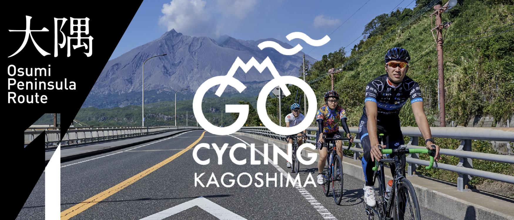
06) Osumi Route (Osumi Area)
08) Tanegashima Route (Kumage Area)
09) Yakushima route (Kumage area)
10) Amami Oshima route (Oshima area)
11) Kikaijima route (Oshima area)
12) Tokunoshima route (Oshima area)
13) Okinoerabujima route (Oshima area)
14) Yoron Island route (Oshima area)
Cycling information
■ Contact information For inquiries
About cycle tourism, please contact the following
Kagoshima Prefecture Tourism, Culture and Sports Department PR Tourism Division
10-1 Kamoike Shinmachi,
Kagoshima City
Phone: 099-286-3045
Share
Most popular
-
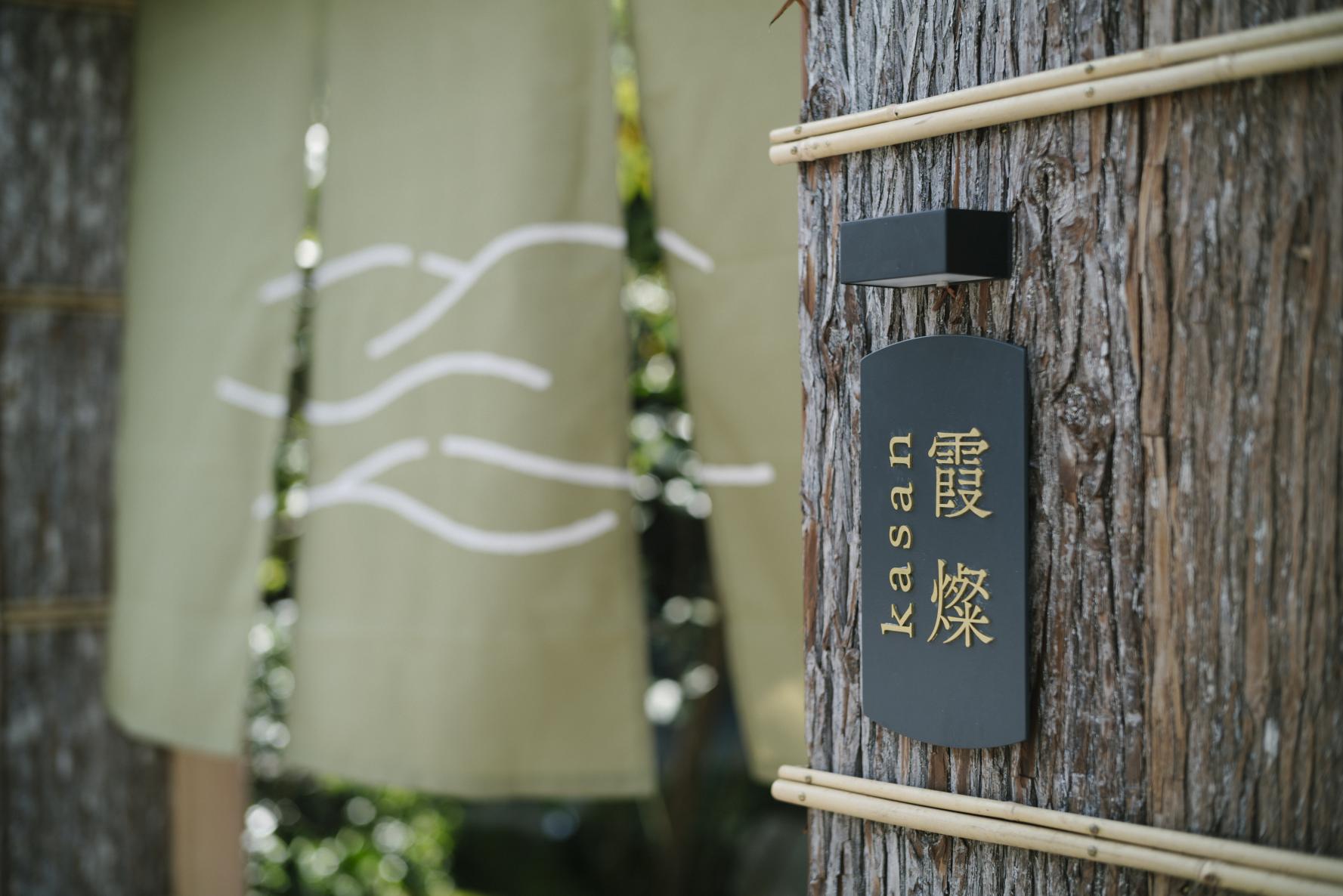
The Complete Guide to "Drifting Inn Kasan," a luxury hotel in Kirishima Enjoy Hot Springs, Gourmet Dining and Sightseeing as if you Were Living There.
-
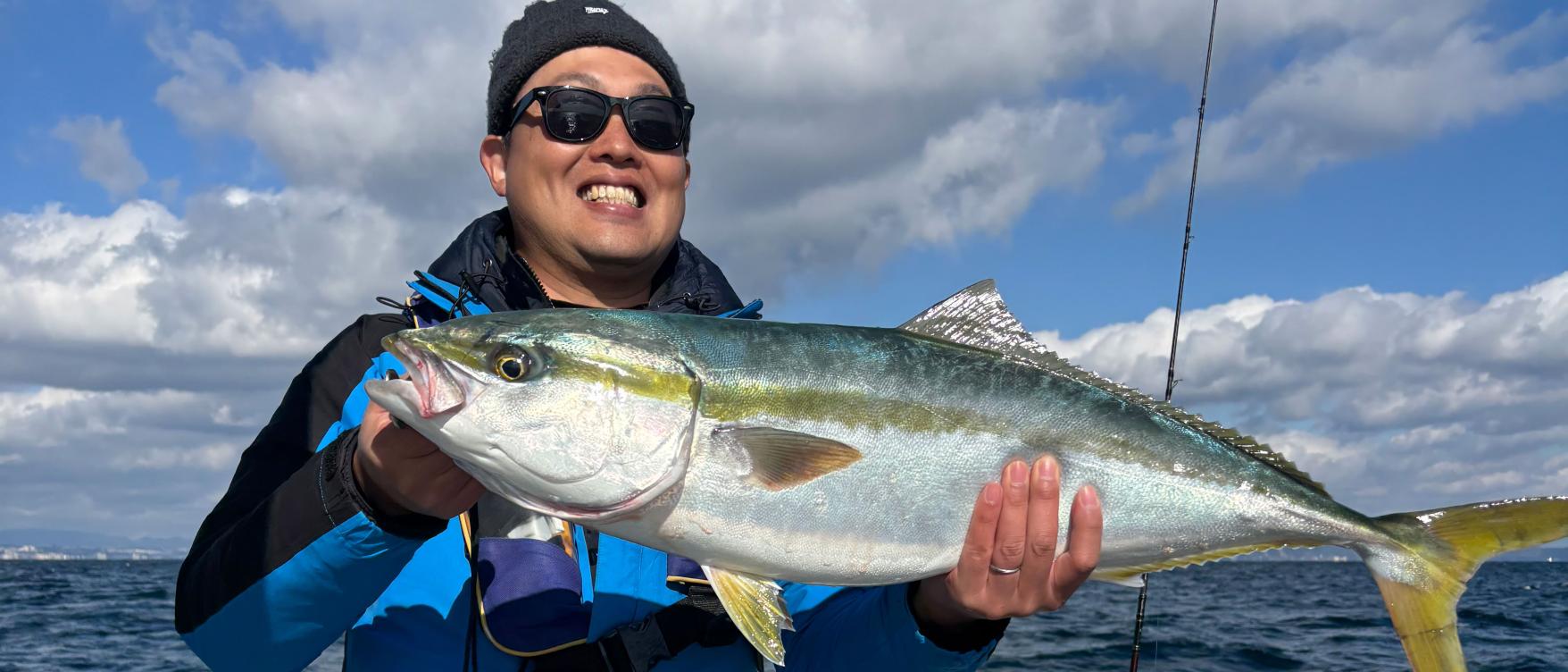
Enjoy a great fishing experience in Kagoshima's Kinko Bay!
-
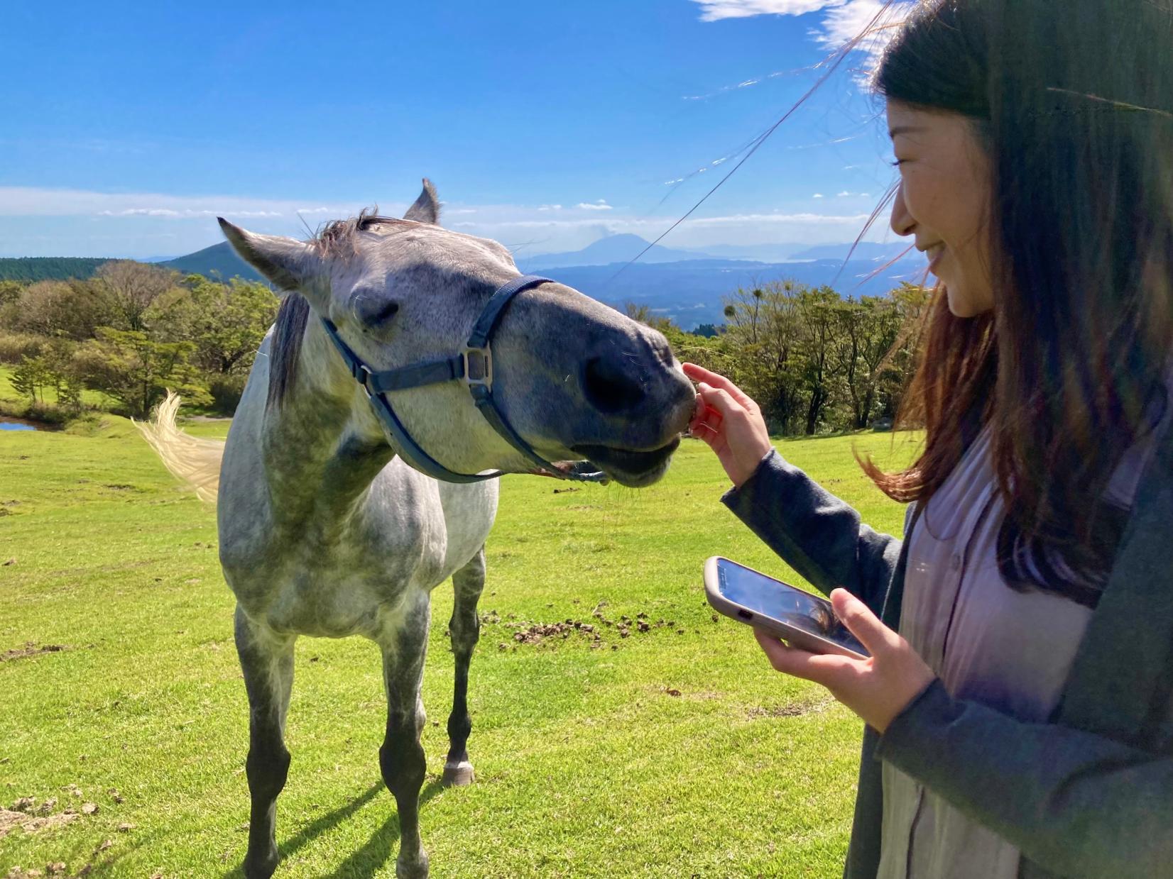
Re-Wild Kagoshima: The ultimate healing experience of interacting with the “Happy Horses”
-
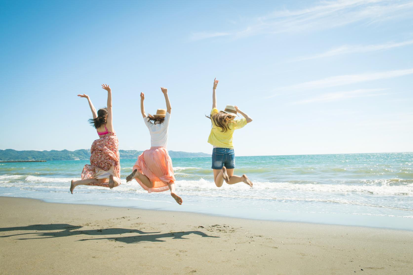
Now is the time for a bike trip! Cycle beautiful Kagoshima
-
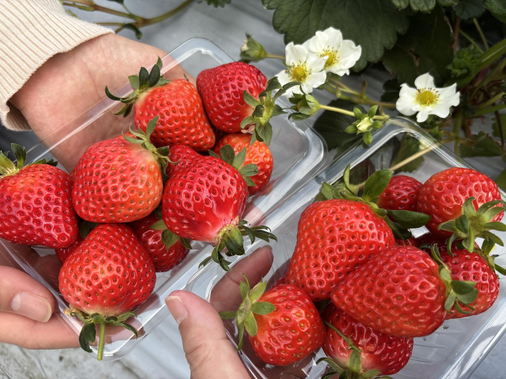
Kagoshima's Best Strawberry Picking Spots! Featuring All-You-Can-Eat and Strawberry Sweets
 Next article for you
-
The Complete Guide to "Drifting Inn Kasan," a luxury hotel in Kirishima Enjoy Hot Springs, Gourmet Dining and Sightseeing as if you Were Living There.
-
Enjoy a great fishing experience in Kagoshima's Kinko Bay!
-
Re-Wild Kagoshima: The ultimate healing experience of interacting with the “Happy Horses”
-
Now is the time for a bike trip! Cycle beautiful Kagoshima
-
Kagoshima's Best Strawberry Picking Spots! Featuring All-You-Can-Eat and Strawberry Sweets
-
Kikaijima Course, an island where mysterious giant banyan trees and butterflies dance
-
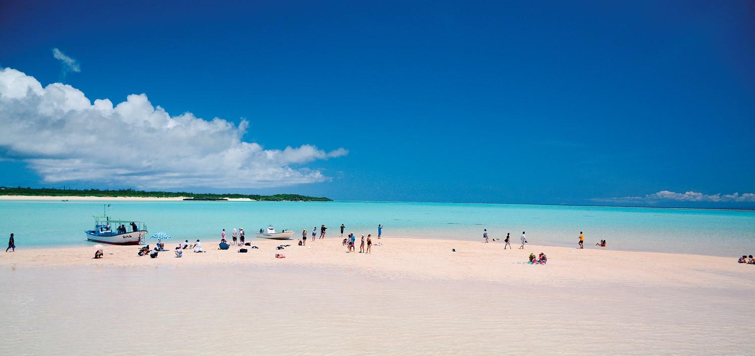
Yoron Island course that heals you on the white sandy beach
-
Enjoy Dynamic Nature and Rich Food! Osumi Route
-
Enjoy the scenery along the river that flows abundantly from the Kirishima Mountains! Sendai River Basin Route
-
Inner Kinko Bay Route: Vocano and Caldera
-
Let's go island-hopping in Kagoshima!
-
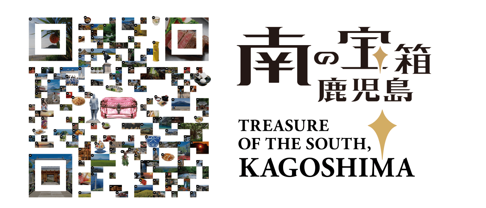
Our latest poster promotes Kagoshima’s tagline “Treasure of the South, Kagoshima” and uses photos of famous attractions across our prefecture, arranged in the style of two-dimensional matrix barcode.
-
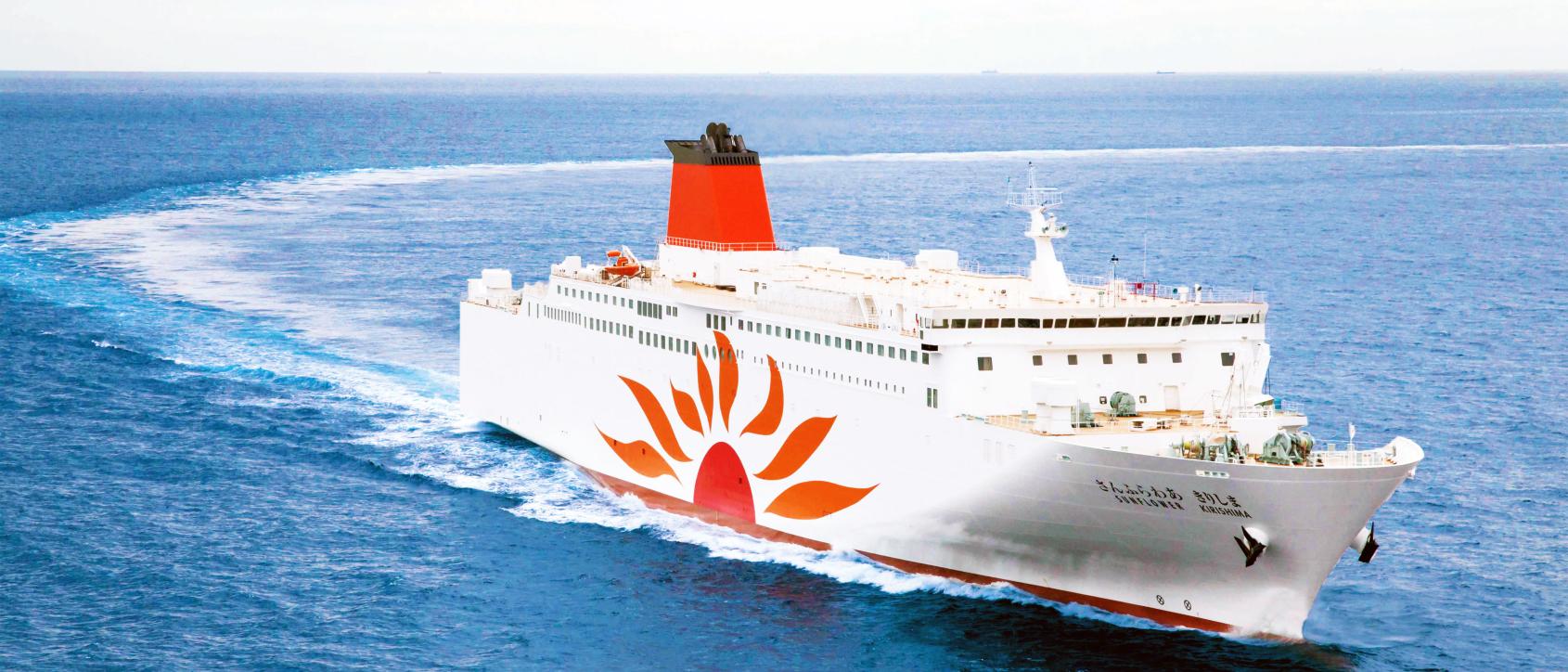
Voyaging from Osaka to Kagoshima on the Sunflower Ferry
-
Discover Kagoshima with the CUTE Pass
-
Helpful information
-
Summer Stay Discount Campaign -Treasure of the South, Kagoshima-
-
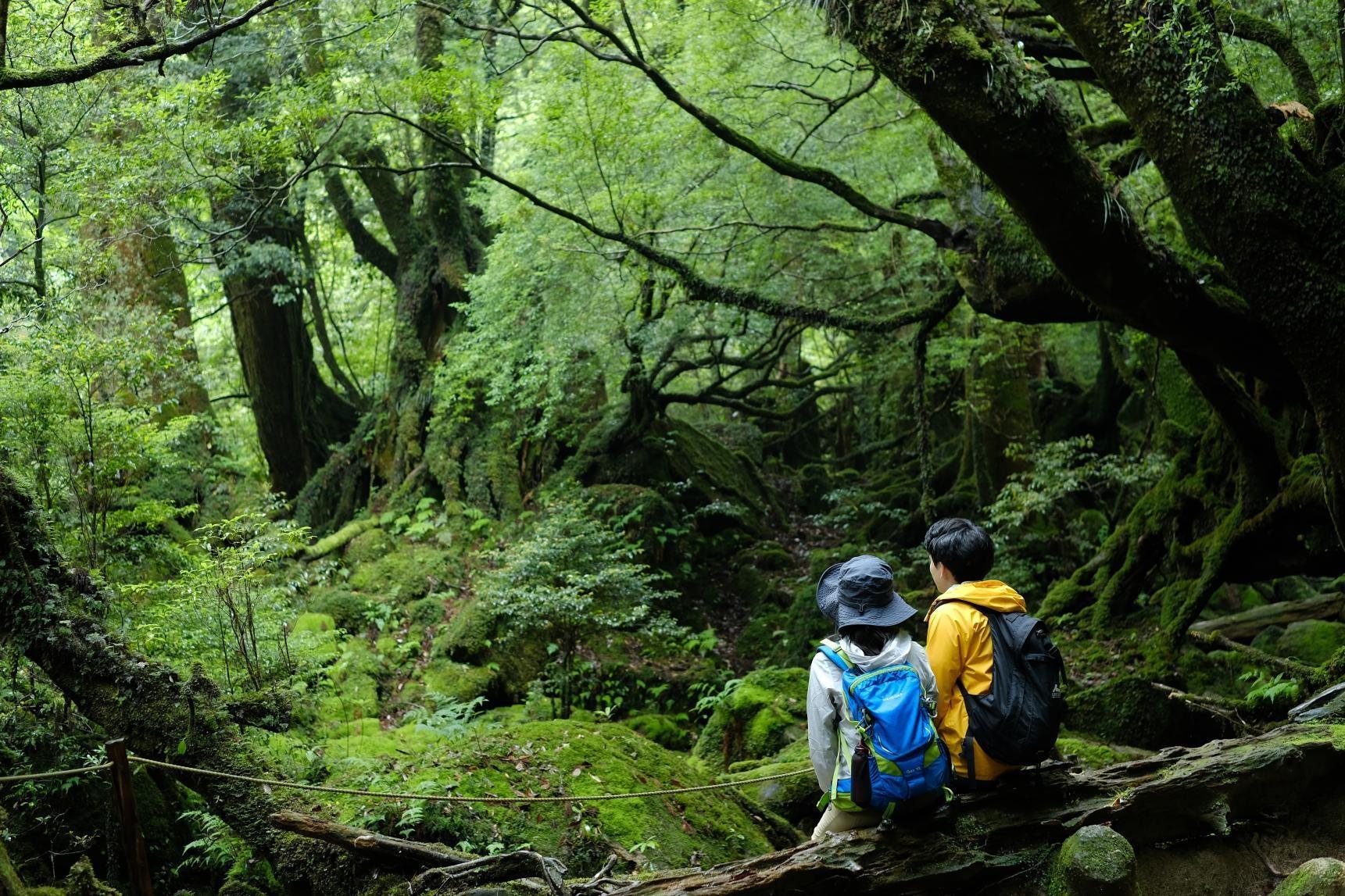
Self-Drive in Kyushu: A Scenic Road Trip From Fukuoka to Yakushima’s Ancient Forests
-
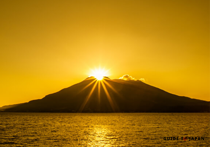
Visit Sakurajima: A Volcano in the Middle of Kagoshima City
-
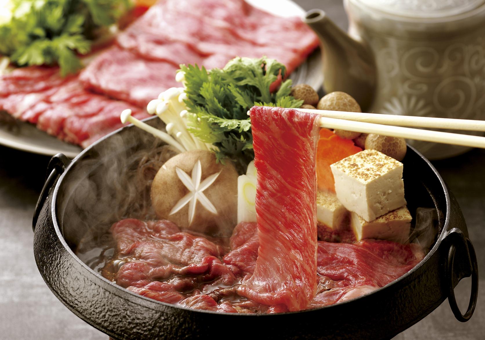
Savouring Kagoshima’s Wagyu
-
Eating and Drinking Your Way Around Kagoshima